


Im Vordertal Ramsau, ca 50m vor dem Cafe Reiter, von Bad Ischl kommend, rechts abzweigen.
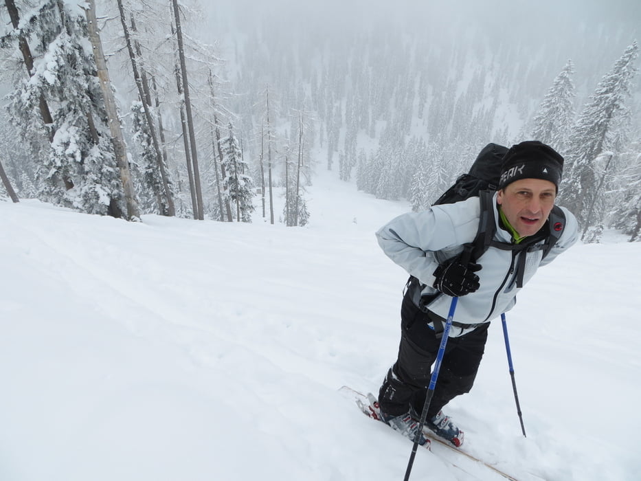
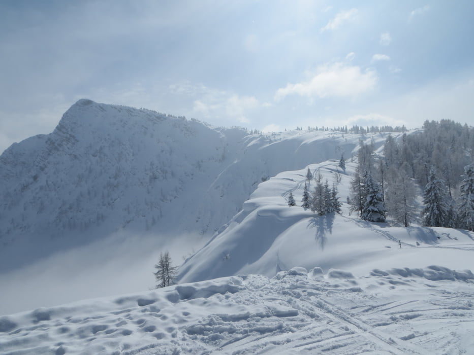
Nach 300 m erreichen Sie die Forststraße. Beim Schranken befindet sich der Parkplatz. Die Route ist nahezu ident mit dem Weg im Sommer. Nach der Iglmoosalm folgt man der Forststraße bis ein " kleiner roter Pfeil " rechts abbiegend den Weg zum Kalmberg zeigt. Jetzt gehts über ein paar Spitzkeher weiter bis über die Baumgrenze. Noch ca. 15min. und man ist am Gipfel. Abfahrt wie Aufstieg oder wie wir über die Goiserer Hütte die im Winter meist geöffnet ist.
mehr Bilder : seppdepp.heim.at
Tour gallery


Tour map and elevation profile
Minimum height 755 m
Maximum height 1850 m
More about the tour author
|
|
Atzbach |
Comments

GPS tracks
Trackpoints-
GPX / Garmin Map Source (gpx) download
-
TCX / Garmin Training Center® (tcx) download
-
CRS / Garmin Training Center® (crs) download
-
Google Earth (kml) download
-
G7ToWin (g7t) download
-
TTQV (trk) download
-
Overlay (ovl) download
-
Fugawi (txt) download
-
Kompass (DAV) Track (tk) download
-
Track data sheet (pdf) download
-
Original file of the author (gpx) download
More about the tour author
|
|
Atzbach |
Add to my favorites
Remove from my favorites
Edit tags
Open track
My score
Rate