Login

Forgot your login?

Cookies have to be accepted!
Your browser's cookie functionality is disabled. Please enable this functionality.

Not a member yet?

Register now
Login

Available for registred users only

Log in to use this feature.

Forgot your login?

Cookies have to be accepted!
Your browser's cookie functionality is disabled. Please enable this functionality.

Not a member yet?

Register now
Filter
Categories
Advanced filters
  • Distance (km)
  • Height
Save filters Reset filter

TrackRank

QRCode

Technical data

Distance12,6 km Height312 m Way down298 m Duration03:00 h:m Date28.02.2013
Scores Author Landscape Fun factor Fitness Technique

Statistics

376 Views 1 Score 68 Downloads 3.00 Average
Rate
  • Track data sheet
  • Directions
  • Downloads

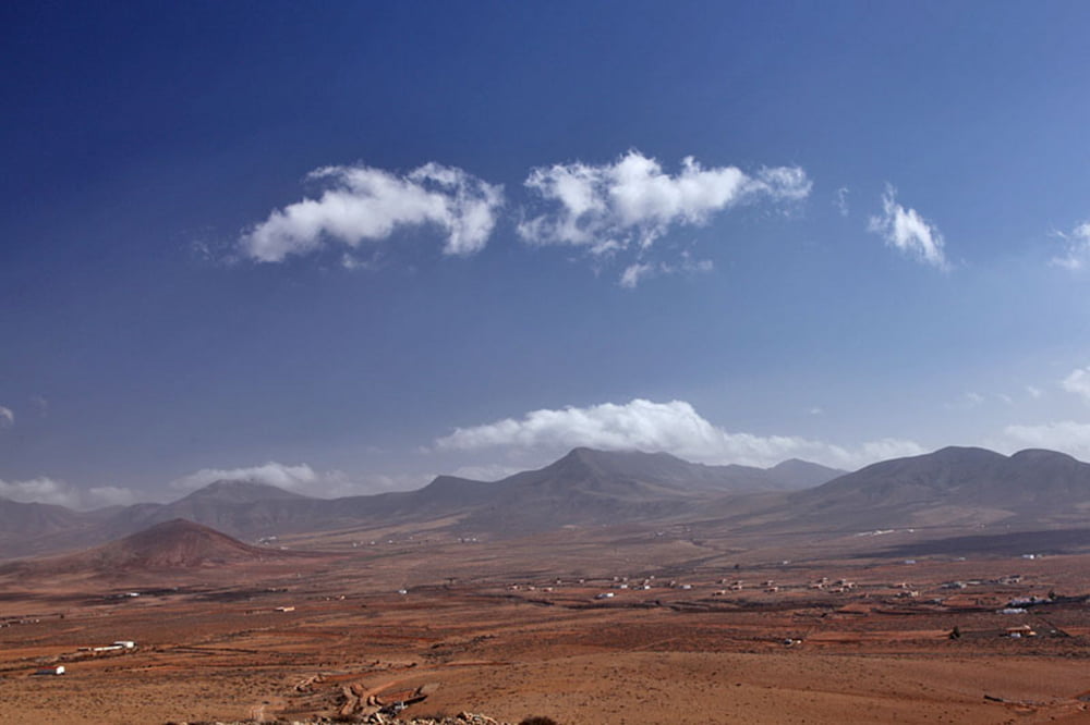
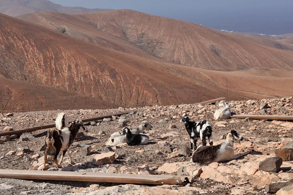
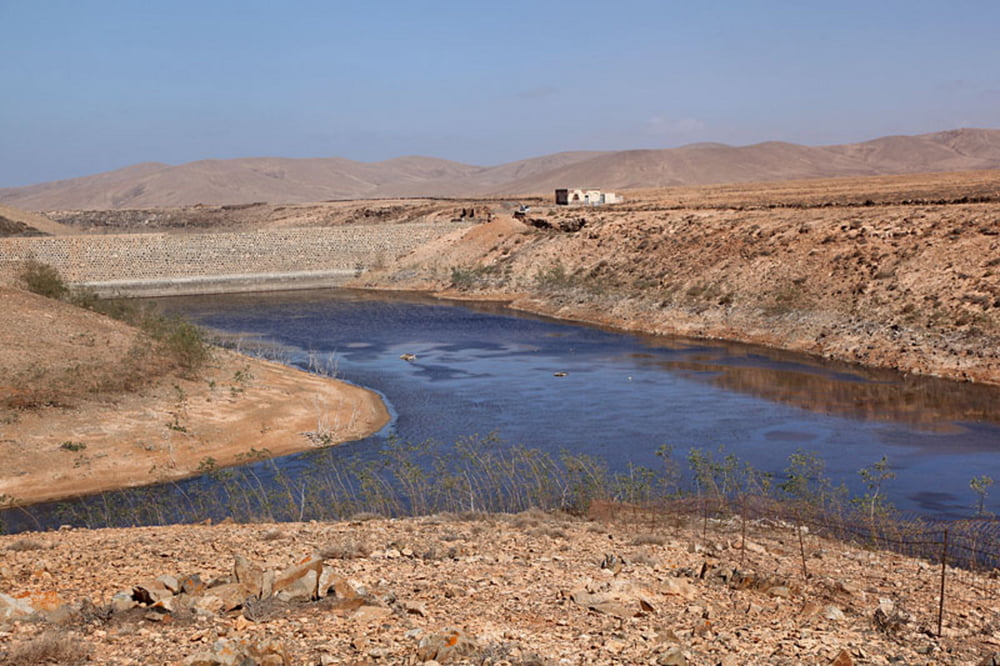
Zuerst auf einer wenig befahrenen Straße aus dem Ort heraus, dann auf Geröllwegen über Hügel zum Stausee. Der Rückweg verläuft im Tal, auch auf Geröllwegen.


Further information at

http://www.wanderseite.net/strecken2013/fuerteventura/wanderungen/tour03/

Tour gallery

Tour map and elevation profile

  • Open Street Map
  • Google
Minimum height 136 m Maximum height 368 m Detailed view

More about the tour author

Moppedcarlo
Member since 2008

Send private message

Comments

GPS tracks

Trackpoints
  • GPX / Garmin Map Source (gpx) download
  • TCX / Garmin Training Center® (tcx) download
  • CRS / Garmin Training Center® (crs) download
  • Google Earth (kml) download
  • G7ToWin (g7t) download
  • TTQV (trk) download
  • Overlay (ovl) download
  • Fugawi (txt) download
  • Kompass (DAV) Track (tk) download
  • Track data sheet (pdf) download
  • Original file of the author (gpx) download

More about the tour author

Moppedcarlo
Member since 2008

Send private message
Share track
Add to my favorites
Remove from my favorites
Edit tags
My score
Rate
Track: Zum Stausee Los Molinos
Type: Hiking
Distance: 12,6 km
Evaluated on:
Duration:
Day(s)
Hour(s)
Minute(s)
Score: Landscape Fun factor Fitness Technique