Login

Forgotten password?

Cookies have to be accepted!
Your browser's cookie functionality is disabled. Please enable this functionality.

Not a member yet?

Register now
Login

Available for registred users only

Log in to use this feature.

Forgotten password?

Cookies have to be accepted!
Your browser's cookie functionality is disabled. Please enable this functionality.

Not a member yet?

Register now
Filter
Categories
Advanced filters
  • Distance (km)
  • Height
Save filters Reset filter

TrackRank

QRCode

Technical data

Distance11,4 km Height820 m Way down820 m Duration06:00 h:m Date03.03.2013
Scores Author Landscape Fun factor Fitness Technique

Statistics

379 Views 1 Score 35 Downloads 3.00 Average
Rate
  • Track data sheet
  • Directions
  • Downloads
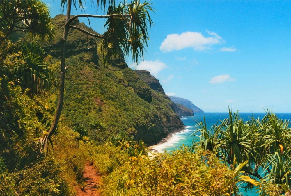
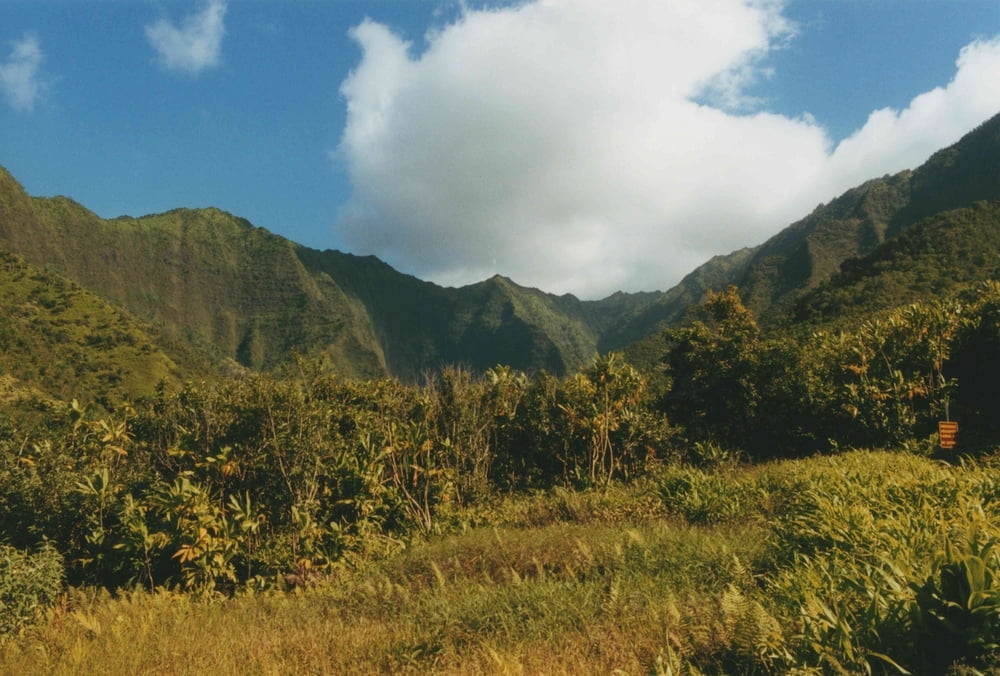
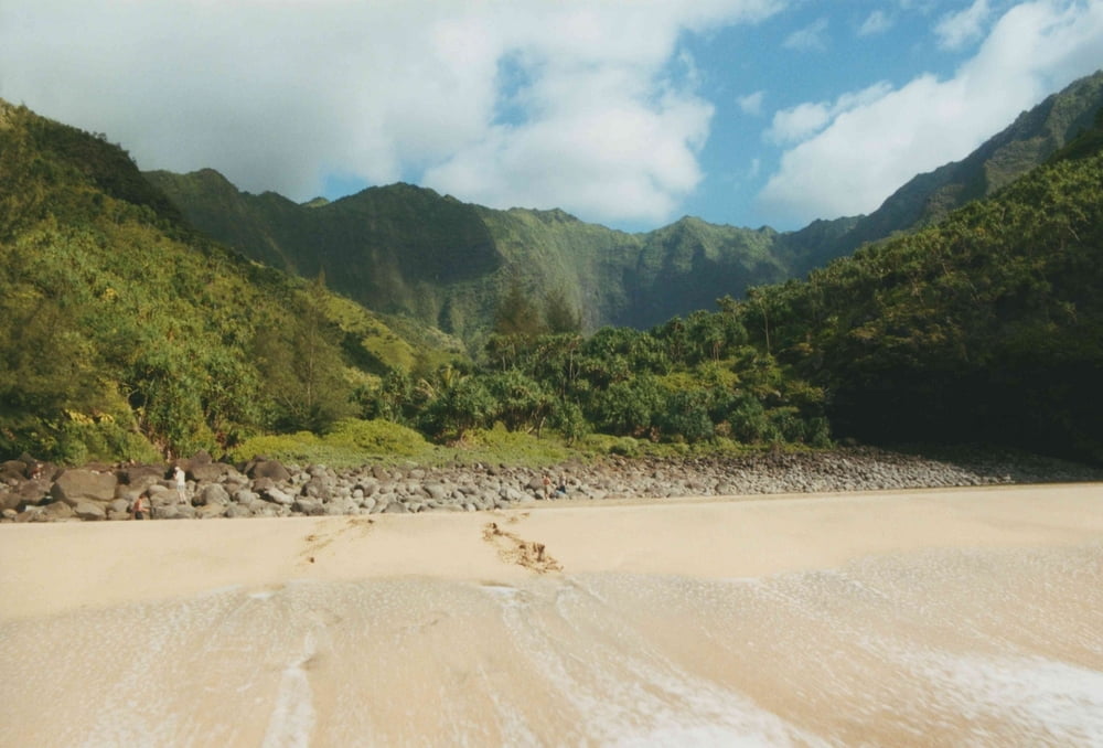
-Teilstrecke des Na Pali Coast Trail von Ke'e Beach bis zur Hanakapiai Bucht. Von dort weiter bis zum Hanakapiai Falls durch das gleichnamige Tal. Empfehlenswert sind Trekking-Sandalen, da der Bach oft gequert werden muss.

Tour gallery

Tour map and elevation profile

  • Open Street Map
  • Google
Minimum height 9 m Maximum height 229 m Detailed view

More about the tour author

msdetroit
Member since 2007

Send private message

Comments

GPS tracks

Trackpoints
  • GPX / Garmin Map Source (gpx) download
  • TCX / Garmin Training Center® (tcx) download
  • CRS / Garmin Training Center® (crs) download
  • Google Earth (kml) download
  • G7ToWin (g7t) download
  • TTQV (trk) download
  • Overlay (ovl) download
  • Fugawi (txt) download
  • Kompass (DAV) Track (tk) download
  • Track data sheet (pdf) download
  • Original file of the author (gpx) download

More about the tour author

msdetroit
Member since 2007

Send private message
Share track
Add to my favorites
Remove from my favorites
Edit tags
My score
Rate
Track: Na Pali Coast zun Hanakapiai Falls
Type: Hiking
Distance: 11,4 km
Evaluated on:
Duration:
Day(s)
Hour(s)
Minute(s)
Score: Landscape Fun factor Fitness Technique