


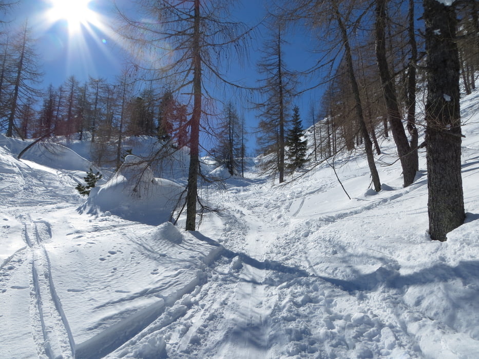
Vom Parkplatz etwa 5 Min am Ufer des Offensees entlang. Dann zweigt links ein Weg ab. Dieser führt anfangs durch den Wald und dann durch einen Graben. Gegen Ende des Grabens biegt man rechts in einen Hohlweg ab und folgt diesem. Man überquert zwei Forststraßen und steigt dann steiler weiter auf. Von hier weniger steil, vorbei am Rauhkogel, in Richtung Weißhorn. Keine Einkehrmöglichkeit. Sehr schöne und nicht zu schwierige Skitour.
mehr Bilder: seppdepp.heim.at
Tour gallery


Tour map and elevation profile
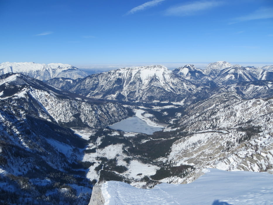
Minimum height 643 m
Maximum height 1766 m
More about the tour author
|
|
Atzbach |
Comments

GPS tracks
Trackpoints-
GPX / Garmin Map Source (gpx) download
-
TCX / Garmin Training Center® (tcx) download
-
CRS / Garmin Training Center® (crs) download
-
Google Earth (kml) download
-
G7ToWin (g7t) download
-
TTQV (trk) download
-
Overlay (ovl) download
-
Fugawi (txt) download
-
Kompass (DAV) Track (tk) download
-
Track data sheet (pdf) download
-
Original file of the author (gpx) download
More about the tour author
|
|
Atzbach |
Add to my favorites
Remove from my favorites
Edit tags
Open track
My score
Rate