

Il percorso parte dal centro abitato di Caldonazzo per poi prendere la direzione Centa San Nicolò su strada asfaltata per un primo tratto fino al bivio dove si scende su strada sterrata verso il Torrente Centa dove è presente il parco acrobatico Acropark. Da qui si prosegue lungo la strada sterrata per poi rimettersi sulla strada principale che porta prima a Centa e poi ai Pian dei Pradi; da qui in poi fino all’abitato di Vattaro l’itinerario si svolge su strada sterrata e in alcuni singoli passaggi su sentiero. Dal centro di Vattaro si prende la direzione per Campregheri su strada sterrata per scendere fino al giardino della Torre dei Sicconi e continuare poi su strada sterrata fino al punto di partenza.
RUNDE DER ANTIKEN TRADITIONEN
Die Tour beginnt im Zentrum von Caldonazzo und geht weiter bis nach Centa San Nicolò, der erste Teil der Strecke verläuft auf asphaltierter Straße, bis man an eine Kreuzung kommt. Hier fährt man bergab auf Schotterstraße bis zum Bach Centa und zum Kletterpark Acropark. Von hier aus geht es anschließend die Schotterstraße entlang, bis man auf die Hauptstraße stößt, die zuerst nach Centa und dann nach Pian dei Pradi und von dort aus nach Vattaro führt. Die Strecke verläuft auf Schotterstraße, auf einigen Abschnitten auch auf Waldwegen. In Vattaro fährt man dann auf Schotterstraße in Richtung Campregheri und weiter bergab bis zu den Torre dei Sicconi und zurück zum Ausgangspunkt.
ANCIENT TRADITIONS TOUR
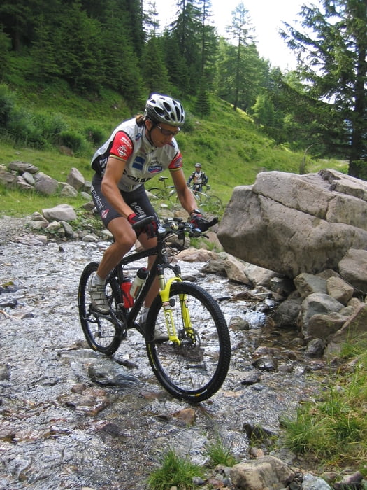
A very nice alternative route with asphalt and unpaved roads, through a varied series of gentle hills and nice runs. This trail is accessible to all and provides the opportunity for unexpected views and surprising “historical-cultural” corners of nearby Caldonazzo where you can also enjoy the lake.
Tour map and elevation profile
Minimum height 462 m
Maximum height 1097 m
More about the tour author

|
valsuganaapt |
Comments
GPS tracks
Trackpoints-
GPX / Garmin Map Source (gpx) download
-
TCX / Garmin Training Center® (tcx) download
-
CRS / Garmin Training Center® (crs) download
-
Google Earth (kml) download
-
G7ToWin (g7t) download
-
TTQV (trk) download
-
Overlay (ovl) download
-
Fugawi (txt) download
-
Kompass (DAV) Track (tk) download
-
Track data sheet (pdf) download
-
Original file of the author (gpx) download
More about the tour author
|
|
valsuganaapt |
Add to my favorites
Remove from my favorites
Edit tags
Open track
My score
Rate
Awesome Tour