
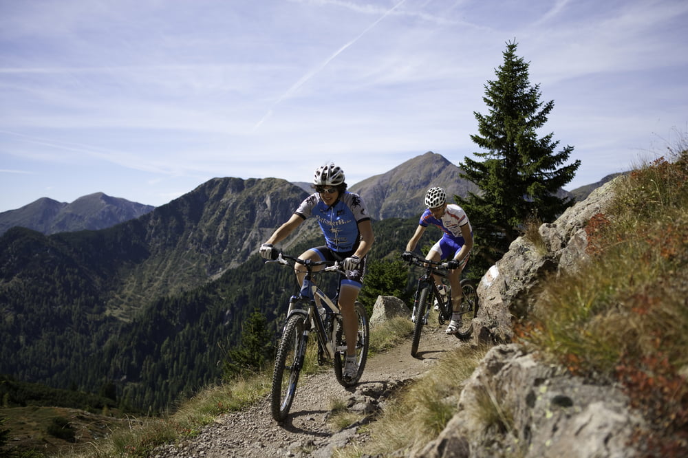

Percorso che parte dall’altopiano di Musiera dove, dopo il parcheggio dell’Hotel Ruscoletta (circa 300 metri), parte una strada sterrata che scende fino in Val Calamento a Malga Pozza. Da qui si sale per una serie di tornanti fino a forcella Lavoschietto rimanendo ai piedi del monte Salubio per poi passare vicino a delle fortificazioni della Grande Guerra che ci portano fino alla località di Musiera alta. Dopo il laghetto si scende su un single track che si incrocia con una stradina sterrata che riporta al punto di partenza passando vicino alla chiesetta di Musiera.
Tour Musiera
Die Tour beginnt auf der Hochebene Musiera, wo man, nach dem Parkplatz des Hotels Ruscoletta (ca. 300 m), in eine Schotterstraße einbiegt, die bergab bis ins Val Calamento und zur Almhütte Malga Pozza führt. Von hier aus geht es über eine Reihe von Kehren bis zur Gabelung Lavoschietto, am Fuße des Berges Salubio. Am Weg findet man Befestigungen aus dem Ersten Weltkrieg. Er führt bis zur Lokalität Musiera alta. Nach dem kleinen See geht es bergab, über einen Singletrack, bis man an eine Kreuzung mit einer Schotterstraße gelangt, die uns zum Ausgangspunkt zurückbringt und ganz in der Nähe der kleinen Kirche von Musiera verläuft.
Musiera Tour
This route starts from Musiera Plateau where, after the Hotel Ruscoletta parking lot (about 300 meters), starts a dirt road that leads down to Val Calamento at Malga Pozza. From here, at the foot of Mount Salubio, ride up a sequence of hairpin turns to Forcella Lavoschietto and pass by the Great War forts that lead us to Musiera Alta. Beyond the lake, ride down the single track that crosses a dirt road, which leads to the starting point passing by Musiera Church.
Tour map and elevation profile
Minimum height 1180 m
Maximum height 1744 m
More about the tour author

|
valsuganaapt |
Comments

GPS tracks
Trackpoints-
GPX / Garmin Map Source (gpx) download
-
TCX / Garmin Training Center® (tcx) download
-
CRS / Garmin Training Center® (crs) download
-
Google Earth (kml) download
-
G7ToWin (g7t) download
-
TTQV (trk) download
-
Overlay (ovl) download
-
Fugawi (txt) download
-
Kompass (DAV) Track (tk) download
-
Track data sheet (pdf) download
-
Original file of the author (gpx) download
More about the tour author
|
|
valsuganaapt |
Add to my favorites
Remove from my favorites
Edit tags
Open track
My score
Rate