
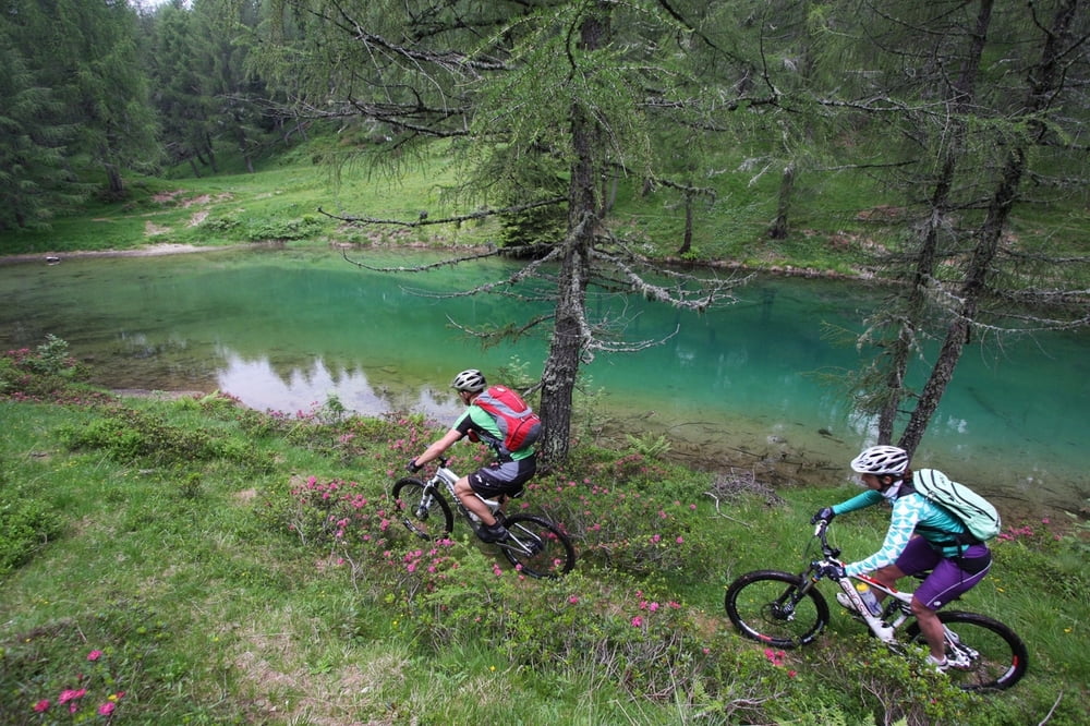

Itinerario che parte dal centro termale di Vetriolo Terme; dopo il Maso Vetriolo Vecchio si imbocca la strada sterrata a sinistra in direzione Malga Masi. Una volta raggiunta la Malga si prosegue per l’ultimo tratto impegnativo del tour in salita verso località la Bassa per poi continuare a destra dei piedi del monte Fravort in direzione Val Portella – Agritur Rincher; un single track che a tratti si alterna su strada forestale. Dall’Agritur si scende fino al ristorante Le Pozze dove si prosegue seguendo il sentiero 327b che da prima è su strada sterrata e poi si trasforma in single track fino a raggiungere la strada asfaltata che porta al Rifugio Erterle. Da qui parte un’altra strada sterrata in salita passando per l’ex malga Broi per raggiungere il punto di partenza.
252 Tour delle Pozze
Die Tour beginnt im Thermalort Vetriolo Terme; nach dem Maso Vetriolo Vecchio nimmt man die Schotterstraße linker Hand, in Richtung Malga Masi. Einmal an der Almhütte angekommen, geht es auf dem letzten anstrengenden Teil der Tour ansteigend in Richtung Lokalität la Bassa und dann weiter, rechts vom Berg Fravort, in Richtung Val Portella – Agritur Rincher; über einen Singletrack, der abwechselnd auf Forstwegen verläuft. Vom Agritur aus fährt man anschließend bergab bis zum Restaurant Le Pozze und dann weiter auf dem Weg 327b, der zuerst auf einer Schotterstraße verläuft und dann zu einem Singletrack wird, bis man zu einer asphaltierten Straße gelangt, die wiederum zur Berghütte Rifugio Erterle führt. Hier beginnt eine andere Schotterstraße, die ansteigend verläuft und vorbei an der ehemaligen Almhütte Malga Broi führt. Auf ihr gelangt man zum Ausgangspunkt zurück.
252 Delle Pozze Tour
The itinerary starts from the Thermal Spa in Vetriolo Terme; after Maso Vetriolo Vecchio turn left on the dirt road in the direction of Malga Masi. Once you have reached Malga Masi continue on the last demanding stretch of the tour, up to loc. La Bassa; continue on the right at the foot of Mt. Fravort in the direction of Val Portella – Agritur Rincher; this single track in some parts passes on forest road. From Agritur Rincher ride down to restaurant Le Pozze, where you will continue on path 372b first on unpaved road, then on single track until you reach the asphalt road that leads to Rifugio Erterle. From here another dirt road starts and goes uphill passing by the former Malga Broi to reaches the starting point.
Tour map and elevation profile
Minimum height 1381 m
Maximum height 1838 m
More about the tour author

|
valsuganaapt |
Comments

GPS tracks
Trackpoints-
GPX / Garmin Map Source (gpx) download
-
TCX / Garmin Training Center® (tcx) download
-
CRS / Garmin Training Center® (crs) download
-
Google Earth (kml) download
-
G7ToWin (g7t) download
-
TTQV (trk) download
-
Overlay (ovl) download
-
Fugawi (txt) download
-
Kompass (DAV) Track (tk) download
-
Track data sheet (pdf) download
-
Original file of the author (gpx) download
More about the tour author
|
|
valsuganaapt |
Add to my favorites
Remove from my favorites
Edit tags
Open track
My score
Rate