Login

Forgot your login?

Cookies have to be accepted!
Your browser's cookie functionality is disabled. Please enable this functionality.

Not a member yet?

Register now
Login

Available for registred users only

Log in to use this feature.

Forgot your login?

Cookies have to be accepted!
Your browser's cookie functionality is disabled. Please enable this functionality.

Not a member yet?

Register now
Filter
Categories
Advanced filters
  • Distance (km)
  • Height
Save filters Reset filter

TrackRank

QRCode

Technical data

Distance29,0 km Height1071 m Way down1050 m Duration00:00 h:m Date07.03.2013
Scores Author Landscape Fun factor Fitness Technique

Statistics

510 Views Scores 87 Downloads Average
Rate
  • Track data sheet
  • Directions
  • Downloads

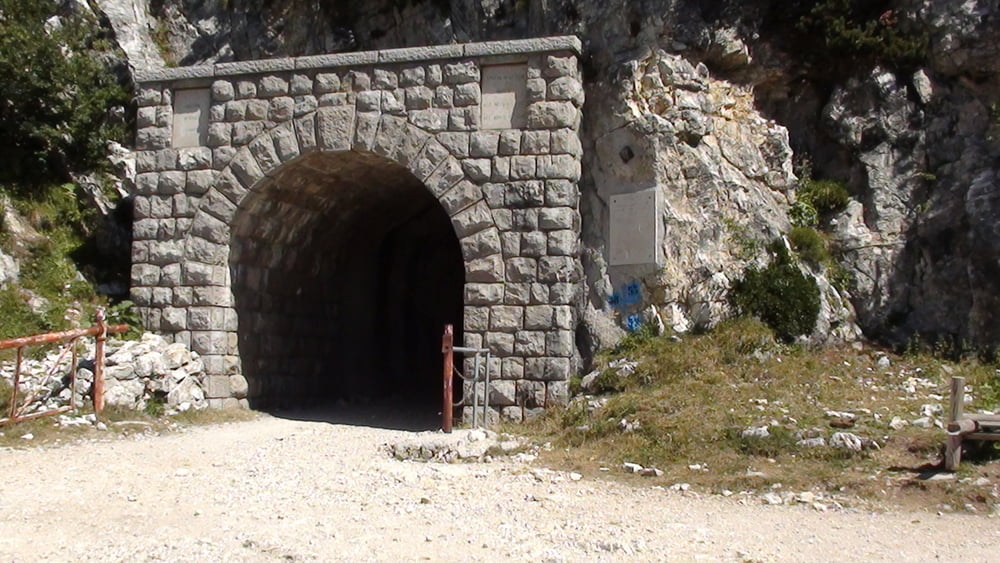
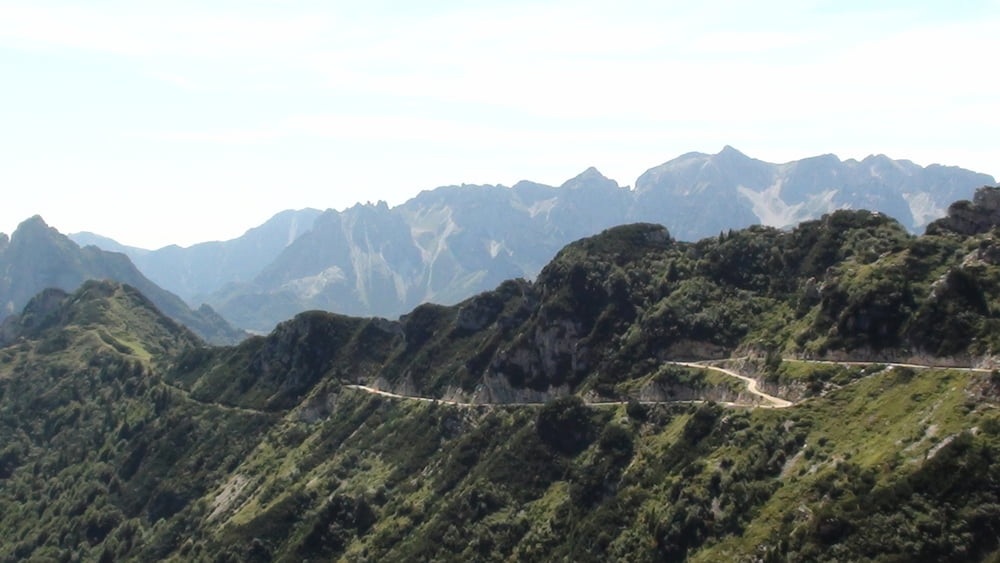
Track number 3 is an classic circle very similiar to Tremazo. If you need an technical parts, just go to the turistic path crossing the serpentines during the way down.


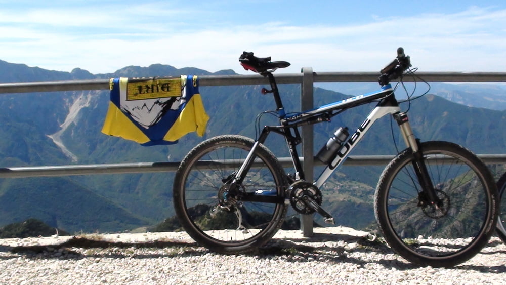
enjoy the sceneries here. Very very nice...

Tour gallery

Tour map and elevation profile

  • Open Street Map
  • Google
Minimum height 896 m Maximum height 1928 m Detailed view

More about the tour author

svejk
Member since 2008

Send private message

Comments

GPS tracks

Trackpoints
  • GPX / Garmin Map Source (gpx) download
  • TCX / Garmin Training Center® (tcx) download
  • CRS / Garmin Training Center® (crs) download
  • Google Earth (kml) download
  • G7ToWin (g7t) download
  • TTQV (trk) download
  • Overlay (ovl) download
  • Fugawi (txt) download
  • Kompass (DAV) Track (tk) download
  • Track data sheet (pdf) download
  • Original file of the author (gpx) download

More about the tour author

svejk
Member since 2008

Send private message
Share track
Add to my favorites
Remove from my favorites
Edit tags
My score
Rate
Track: Lago di garda - Pasubio - biking WW I roads
Type: Mountain bike
Distance: 29,0 km
Evaluated on:
Duration:
Day(s)
Hour(s)
Minute(s)
Score: Landscape Fun factor Fitness Technique