


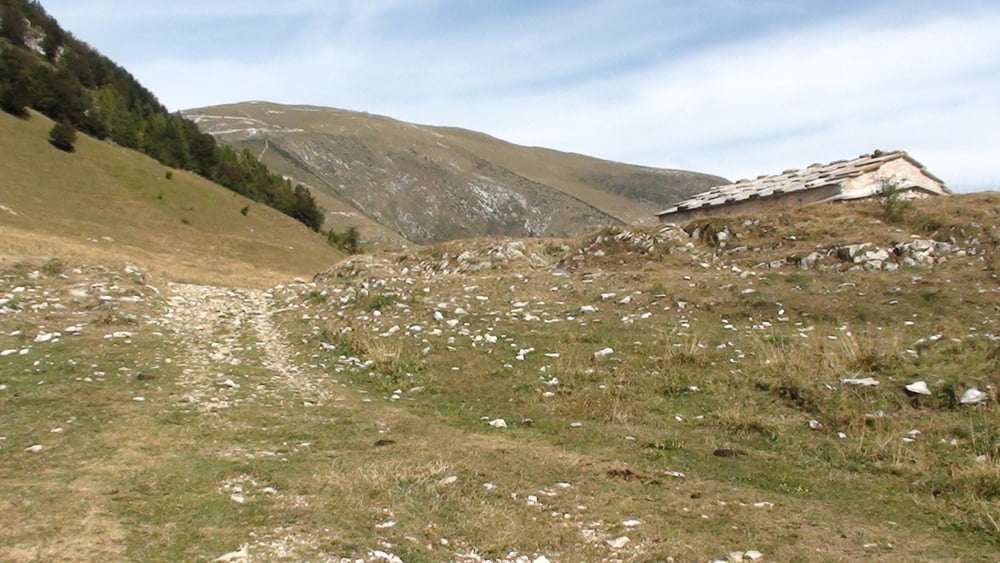
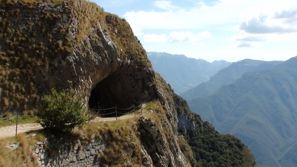
An "Hipster" way down from Mte. Baldo. There is no so much people that like to going so much up after going up by not very cheap cableway from Matcesine. But for me it worth for that. Follow the track and enjoy all kind of paths. Asphalt, gravel, narrow trails, steep rock-gardens. Do not forget to tak a lot of food and water with you. There is no Rifugio on the route. You can only use one of the restaurant in villages. For me there is better atmoshere when you eat something in the woods or on the top of the mountain, not a Pizza that you can enjoy back in Torbole.
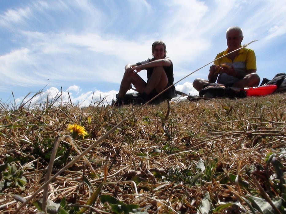
Have a nice Day! This is the last tour on this year's Lago di Garda biking adventure.
Tour gallery

Tour map and elevation profile
Minimum height 25 m
Maximum height 1778 m
More about the tour author

|
svejk |
Comments

GPS tracks
Trackpoints-
GPX / Garmin Map Source (gpx) download
-
TCX / Garmin Training Center® (tcx) download
-
CRS / Garmin Training Center® (crs) download
-
Google Earth (kml) download
-
G7ToWin (g7t) download
-
TTQV (trk) download
-
Overlay (ovl) download
-
Fugawi (txt) download
-
Kompass (DAV) Track (tk) download
-
Track data sheet (pdf) download
-
Original file of the author (gpx) download
More about the tour author
|
|
svejk |
Add to my favorites
Remove from my favorites
Edit tags
Open track
My score
Rate