


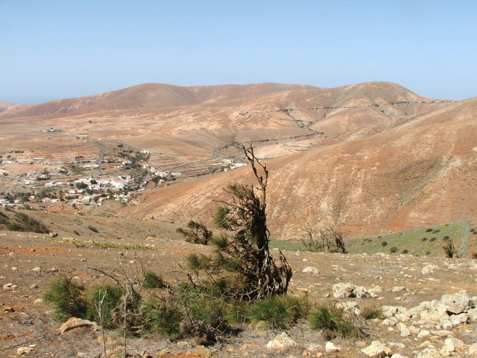
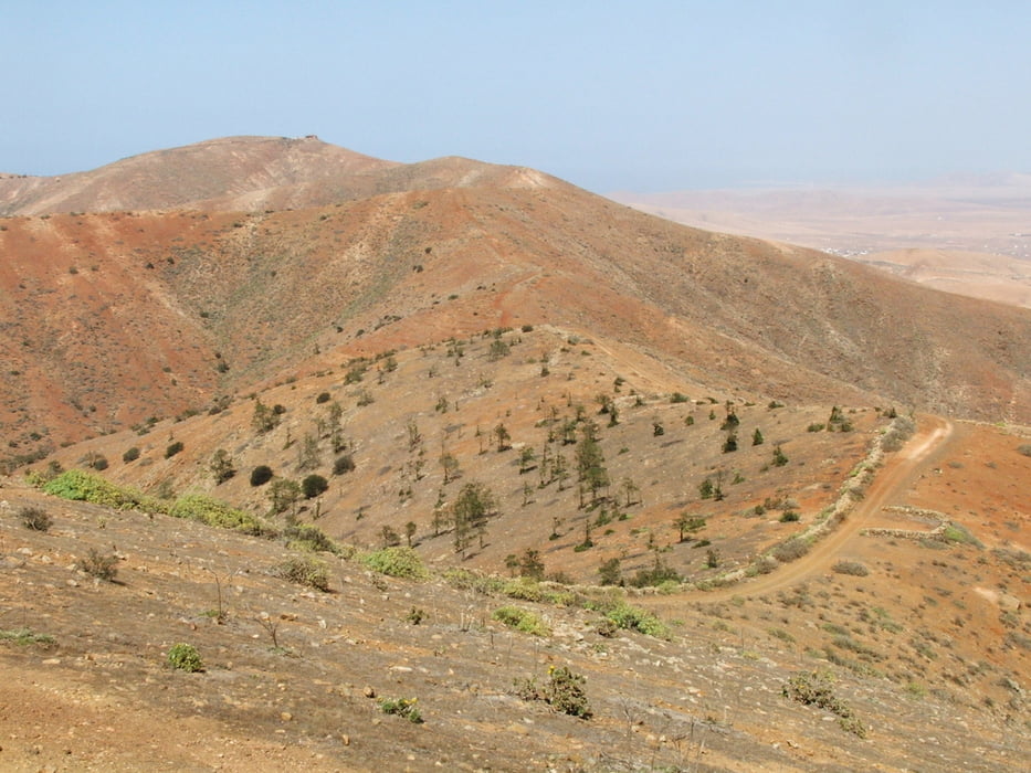
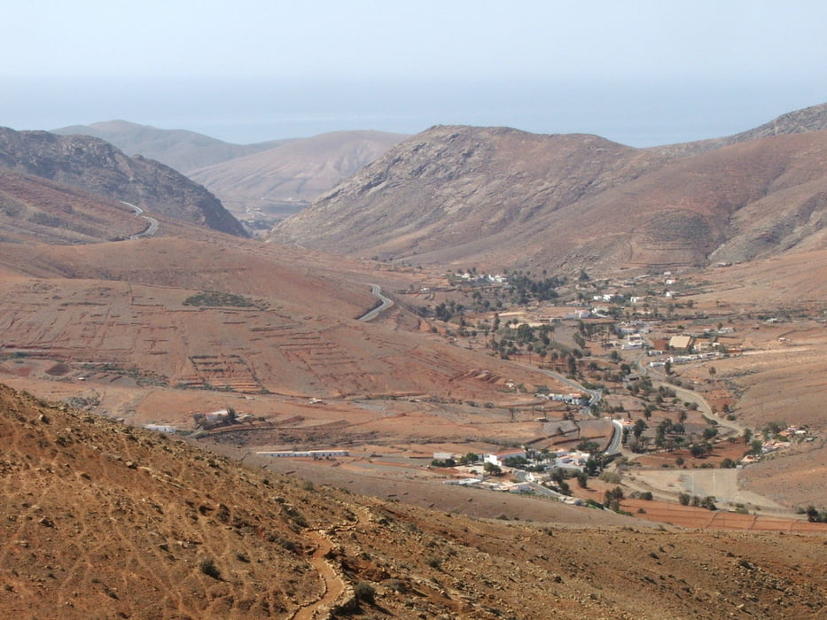
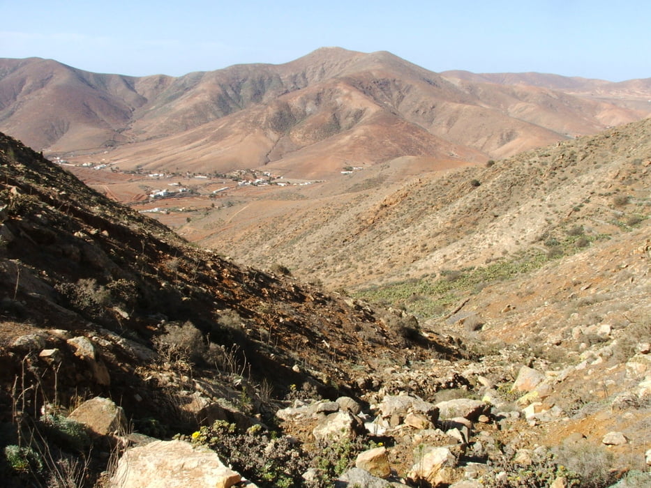
Morrito del Rincón - Morro Velosa - Degollada de la Villa - Degollada de los Pasos - Morro Janana - Morro de Tabagoste - Degollada Pechillera - Gran Montaña - Suerte del Riego
Bis Gran Montaña mit viel Auf- und Abstiegen auf dem Kamm, dann auf schlechtem Weg (Geröll) steil hinunter.
Tour gallery
Tour map and elevation profile
Minimum height 294 m
Maximum height 719 m
More about the tour author
|
|
lothardomnik |
Comments

Hinfahrt: Buslinie 02 von Puerto del Rosario. Der Ausgangspunkt der Wanderung ist der Mirador am höchsten Punkt der Landstraße. Allerdings ist dort keine offizielle Haltestelle. Ich durfte trotzdem aussteigen.
Rückfahrt: Buslinie 02 nach Puerto del Rosario
GPS tracks
Trackpoints-
GPX / Garmin Map Source (gpx) download
-
TCX / Garmin Training Center® (tcx) download
-
CRS / Garmin Training Center® (crs) download
-
Google Earth (kml) download
-
G7ToWin (g7t) download
-
TTQV (trk) download
-
Overlay (ovl) download
-
Fugawi (txt) download
-
Kompass (DAV) Track (tk) download
-
Track data sheet (pdf) download
-
Original file of the author (gpx) download
More about the tour author
|
|
lothardomnik |
Add to my favorites
Remove from my favorites
Edit tags
Open track
My score
Rate