


Anspruchsvolle Tour auf einsamen Straßen.
Wir starten in Finale di Pollina Richtung Westen und erreichen nach ca. 15 Km den sehenswerten Ort Cefalú.
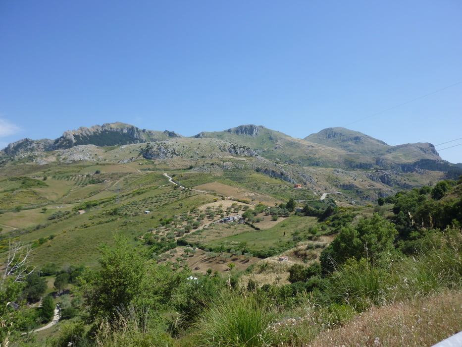
Jetzt geht es erst mal ordentlich bergauf, Verkehr NULL. Nach einem Flachstück und einer Kreuzung bei der ersten kurzen Abfahrt ist etwas Vorsicht geboten, denn der Asphalt ist hier teilweise arg beschädigt. Wir kommen zur Ortschaft Isnello da wir lx liegen lassen und nach einer längeren Abfahrt kommen wir nach Castelbuono. (Hier sollte man den Ort auf der Parallelstraße durchqueren, denn ich merkte erst am Ende, dass ich gegen die Einbahn unterwegs war.) Jetzt geht es noch nach Pollina, ein Bergdorf auf ca. 700 m, die Autos bleiben am Ortsrand, denn im Dorf ist es sehr steil und es gibt nur mehr Gassen und Treppen und wie so oft ganz oben befindet sich ein Schloss.
Nun trennen uns noch 10 km bergab vom Meer.
Trackdatum 03.06.2012
Further information at
http://www.parcodellemadonie.it/Tour gallery


Tour map and elevation profile
Minimum height 12 m
Maximum height 750 m
More about the tour author
|
|
Califan |
Comments

Wir befinden uns im Norden der Insel, an der Küste zwischen Messina und Palermo, ca 15 Km vor Cefalù im Ort Finale Pollina.
GPS tracks
Trackpoints-
GPX / Garmin Map Source (gpx) download
-
TCX / Garmin Training Center® (tcx) download
-
CRS / Garmin Training Center® (crs) download
-
Google Earth (kml) download
-
G7ToWin (g7t) download
-
TTQV (trk) download
-
Overlay (ovl) download
-
Fugawi (txt) download
-
Kompass (DAV) Track (tk) download
-
Track data sheet (pdf) download
-
Original file of the author (gpx) download
More about the tour author
|
|
Califan |
Add to my favorites
Remove from my favorites
Edit tags
Open track
My score
Rate