


The Tour starts in Thatcham towards the Monkey marsh lock, where you cross the Reading-Bath lock and head on towards RAF Greenham Common. The route takes you past the former Control Tower, before lreading on towards Adbury and Burghclere. Part of that is on low traffic country roads.
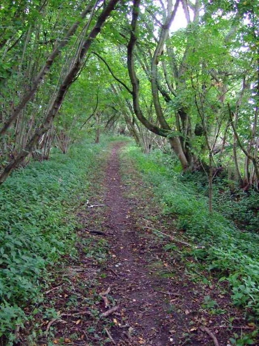
The ascend to Watership down is quite steep, but since it is onroad everyone can easily manage. Then the trail follows various singletrails as well as wider tracks.
On the way back, I had a couple of punctures, because on the singletrail near Ashley Warren the hedgeswere cut and I picked up some thorns on the way - so be carefull. From then on the trail follows the same trails and roads we came from.
Overall a nice little Mountainbikeride south of Newbury.
Further information at
http://www.thatchamtowncouncil.gov.uk/main/index.htmlTour gallery
Tour map and elevation profile
Minimum height 61 m
Maximum height 230 m
More about the tour author

|
Comments

Via M4 and then A34 towards Nebury. In Newbury go towards Benham Hill and then on to Thatcham. You can start the Tour from where I parked (its free) or if you arrive by train, the trail goes past the trainstation.
GPS tracks
Trackpoints-
GPX / Garmin Map Source (gpx) download
-
TCX / Garmin Training Center® (tcx) download
-
CRS / Garmin Training Center® (crs) download
-
Google Earth (kml) download
-
G7ToWin (g7t) download
-
TTQV (trk) download
-
Overlay (ovl) download
-
Fugawi (txt) download
-
Kompass (DAV) Track (tk) download
-
Track data sheet (pdf) download
-
Original file of the author (gpx) download
More about the tour author
|
|
Add to my favorites
Remove from my favorites
Edit tags
Open track
My score
Rate