Login

Forgot your login?

Cookies have to be accepted!
Your browser's cookie functionality is disabled. Please enable this functionality.

Not a member yet?

Register now
Login

Available for registred users only

Log in to use this feature.

Forgot your login?

Cookies have to be accepted!
Your browser's cookie functionality is disabled. Please enable this functionality.

Not a member yet?

Register now
Filter
Categories
Advanced filters
  • Distance (km)
  • Height
Save filters Reset filter

TrackRank

QRCode

Technical data

Distance70,0 km Height2500 m Way down2575 m Duration05:00 h:m Date23.03.2013
Scores Author Landscape Fun factor Fitness Technique

Statistics

418 Views Scores 43 Downloads Average
Rate
  • Track data sheet
  • Directions
  • Downloads
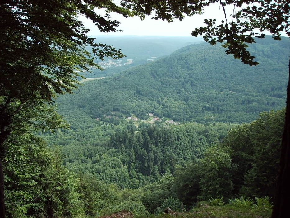
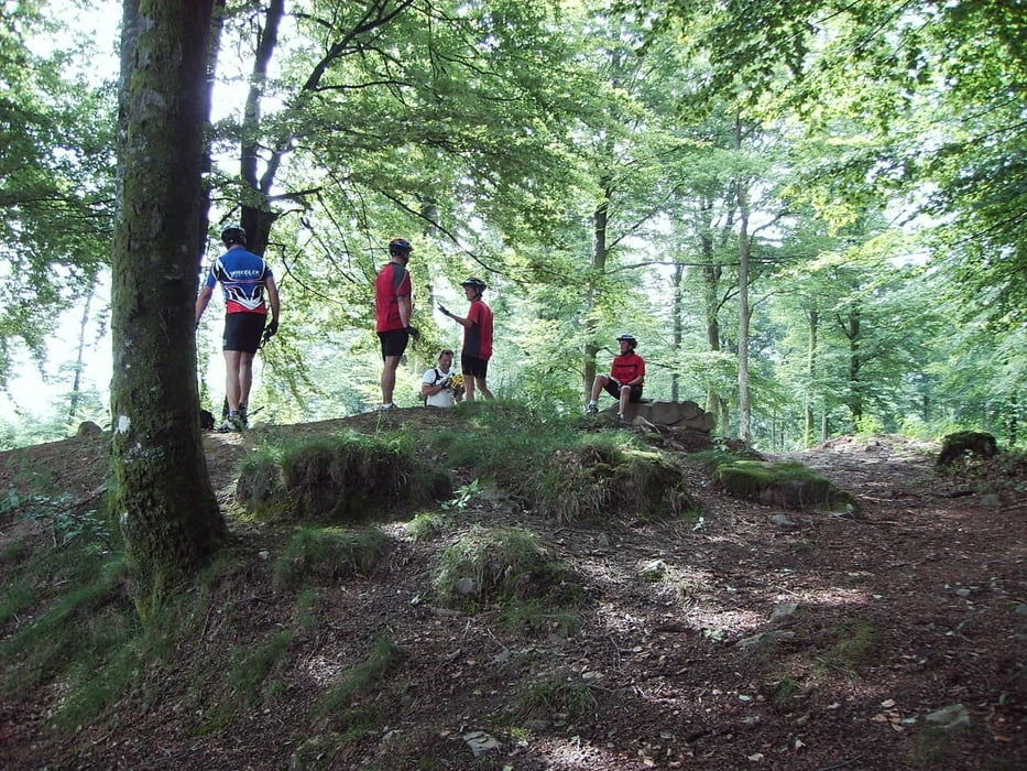
Knackige Rundtour von Fresse  über den Col du Stalon, weiter zur Planche des belles filles und  zur berühmten Chapelle Notre Dame du Haut in Ronchamp. 

Tour gallery

Tour map and elevation profile

  • Open Street Map
  • Google
Minimum height 343 m Maximum height 1182 m Detailed view

More about the tour author

ablees
Member since 2008

Send private message

Comments

GPS tracks

Trackpoints
  • GPX / Garmin Map Source (gpx) download
  • TCX / Garmin Training Center® (tcx) download
  • CRS / Garmin Training Center® (crs) download
  • Google Earth (kml) download
  • G7ToWin (g7t) download
  • TTQV (trk) download
  • Overlay (ovl) download
  • Fugawi (txt) download
  • Kompass (DAV) Track (tk) download
  • Track data sheet (pdf) download
  • Original file of the author (gpx) download

More about the tour author

ablees
Member since 2008

Send private message
Share track
Add to my favorites
Remove from my favorites
Edit tags
My score
Rate
Track: Chapelle Notre-Dame-du-Haut
Type: Mountain bike
Distance: 70,0 km
Evaluated on:
Duration:
Day(s)
Hour(s)
Minute(s)
Score: Landscape Fun factor Fitness Technique