


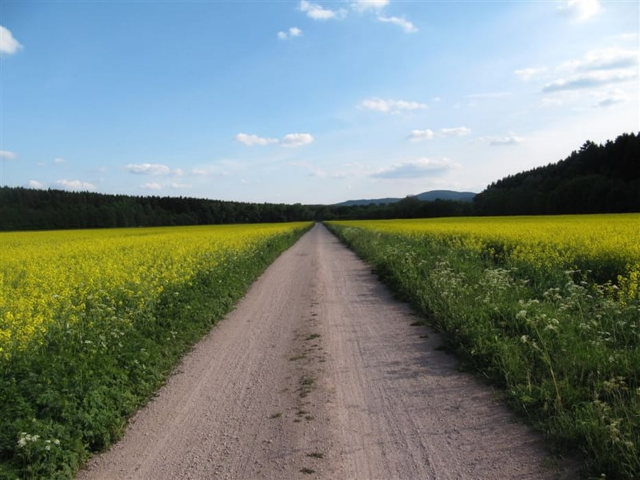
Den wunderbaren Ilmtal-Radweg entlang von Weimar in Richtung Rennsteig.
Bis nach Manebach kurz vor dem Rennsteig.
Anschlußetappe : vom Ilmtal zur Werra
am 28.05.2011
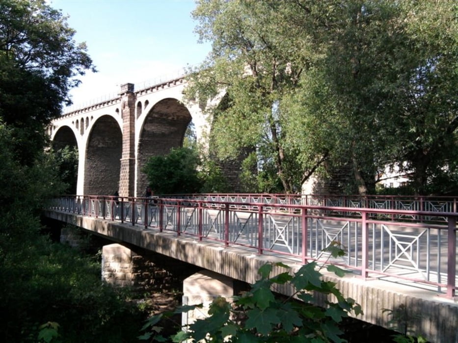
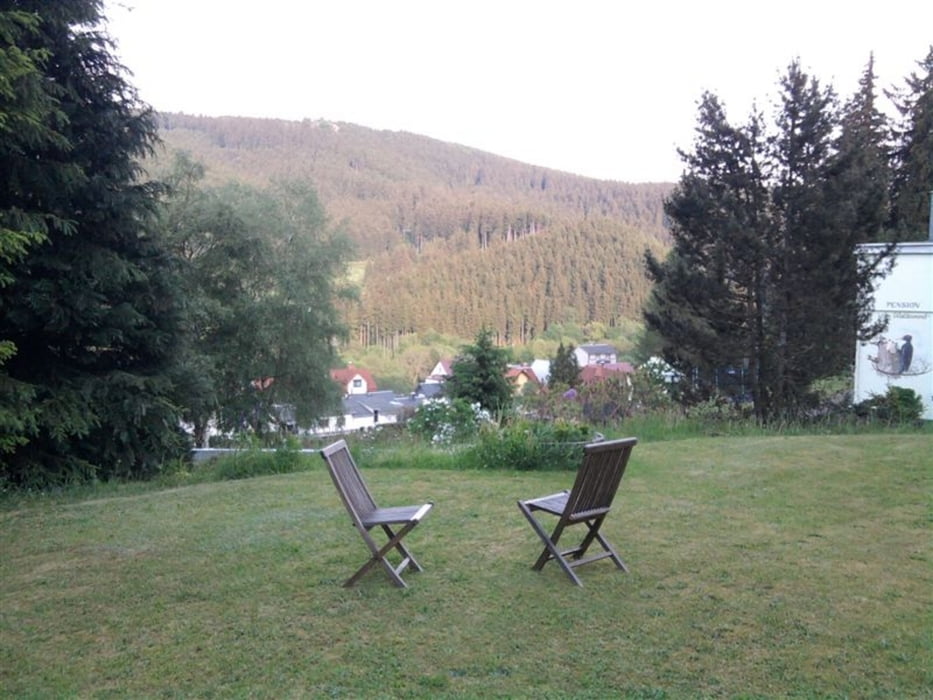
Tour gallery
Tour map and elevation profile
Minimum height 204 m
Maximum height 593 m
More about the tour author
|
|
andi-leipzig |
Comments

mit der Bahn bis nach Weimar
GPS tracks
Trackpoints-
GPX / Garmin Map Source (gpx) download
-
TCX / Garmin Training Center® (tcx) download
-
CRS / Garmin Training Center® (crs) download
-
Google Earth (kml) download
-
G7ToWin (g7t) download
-
TTQV (trk) download
-
Overlay (ovl) download
-
Fugawi (txt) download
-
Kompass (DAV) Track (tk) download
-
Track data sheet (pdf) download
-
Original file of the author (gpx) download
More about the tour author
|
|
andi-leipzig |
Add to my favorites
Remove from my favorites
Edit tags
Open track
My score
Rate