Login

Forgotten password?

Cookies have to be accepted!
Your browser's cookie functionality is disabled. Please enable this functionality.

Not a member yet?

Register now
Login

Available for registred users only

Log in to use this feature.

Forgotten password?

Cookies have to be accepted!
Your browser's cookie functionality is disabled. Please enable this functionality.

Not a member yet?

Register now
Filter
Categories
Advanced filters
  • Distance (km)
  • Height
Save filters Reset filter

TrackRank

QRCode

Technical data

Distance56,2 km Height293 m Way down314 m Duration04:00 h:m Date24.03.2013
Scores Author Landscape Fun factor Fitness Technique

Statistics

135 Views Scores 8 Downloads Average
Rate
  • Track data sheet
  • Directions
  • Downloads

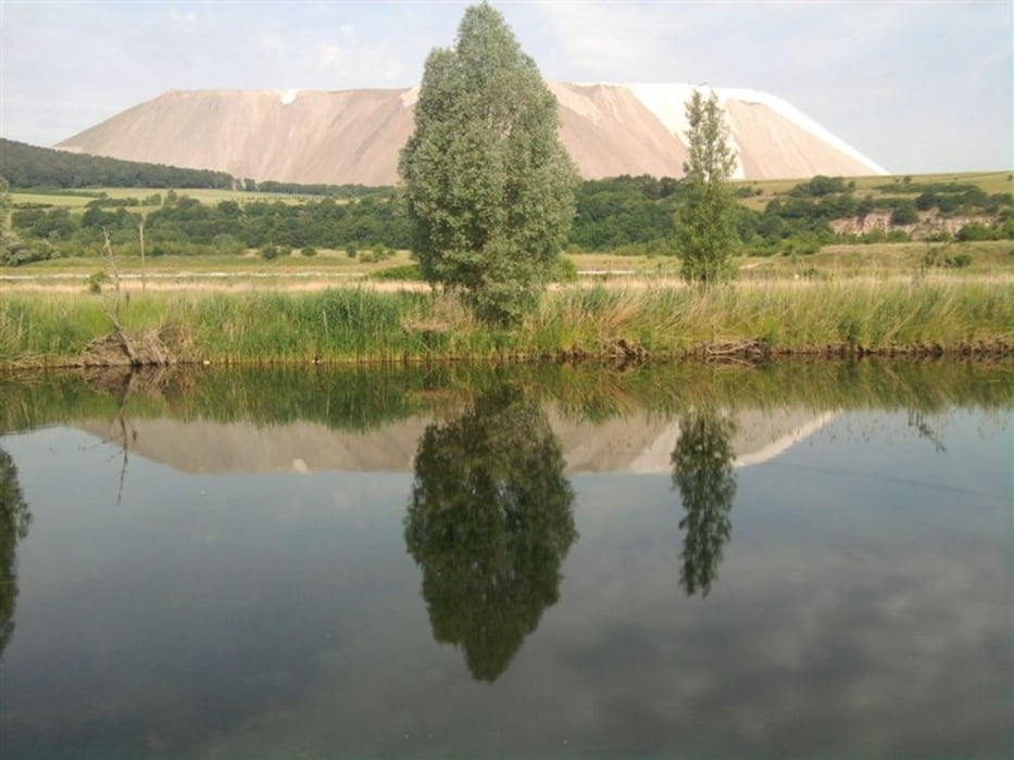
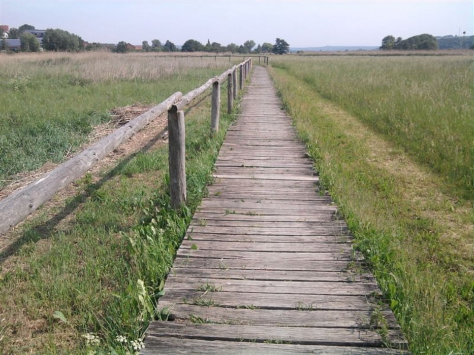
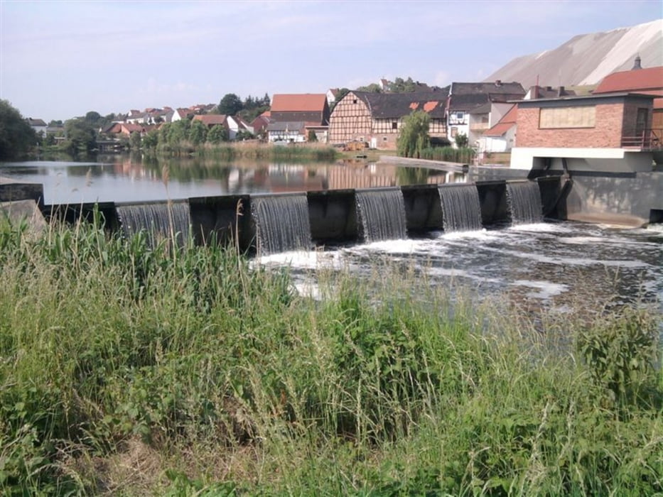
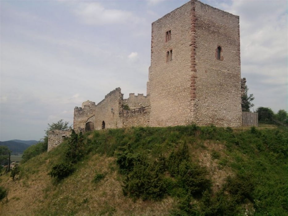
an der Werra entlang von Vacha bis Hörschel

und dann weiter über Radwege  zum Bahnhof in Eisenach

am 31.05.2011

Tour gallery

Tour map and elevation profile

  • Open Street Map
  • Google
Minimum height 196 m Maximum height 266 m Detailed view

More about the tour author

andi-leipzig
Member since 2009

Send private message

Comments

GPS tracks

Trackpoints
  • GPX / Garmin Map Source (gpx) download
  • TCX / Garmin Training Center® (tcx) download
  • CRS / Garmin Training Center® (crs) download
  • Google Earth (kml) download
  • G7ToWin (g7t) download
  • TTQV (trk) download
  • Overlay (ovl) download
  • Fugawi (txt) download
  • Kompass (DAV) Track (tk) download
  • Track data sheet (pdf) download
  • Original file of the author (gpx) download

More about the tour author

andi-leipzig
Member since 2009

Send private message
Share track
Add to my favorites
Remove from my favorites
Edit tags
My score
Rate
Track: Werratal von Vacha bis Hörschel
Type: Trekkingbike
Distance: 56,2 km
Evaluated on:
Duration:
Day(s)
Hour(s)
Minute(s)
Score: Landscape Fun factor Fitness Technique