Login

Forgotten password?

Cookies have to be accepted!
Your browser's cookie functionality is disabled. Please enable this functionality.

Not a member yet?

Register now
Login

Available for registred users only

Log in to use this feature.

Forgotten password?

Cookies have to be accepted!
Your browser's cookie functionality is disabled. Please enable this functionality.

Not a member yet?

Register now
Filter
Categories
Advanced filters
  • Distance (km)
  • Height
Save filters Reset filter

TrackRank

QRCode

Technical data

Distance79,6 km Height902 m Way down854 m Duration05:00 h:m Date24.03.2013
Scores Author Landscape Fun factor Fitness Technique

Statistics

105 Views Scores 5 Downloads Average
Rate
  • Track data sheet
  • Directions
  • Downloads

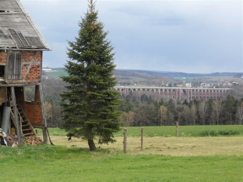
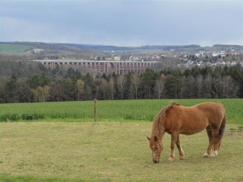
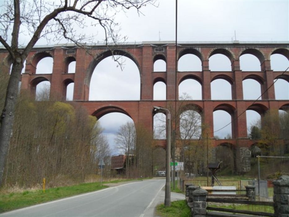
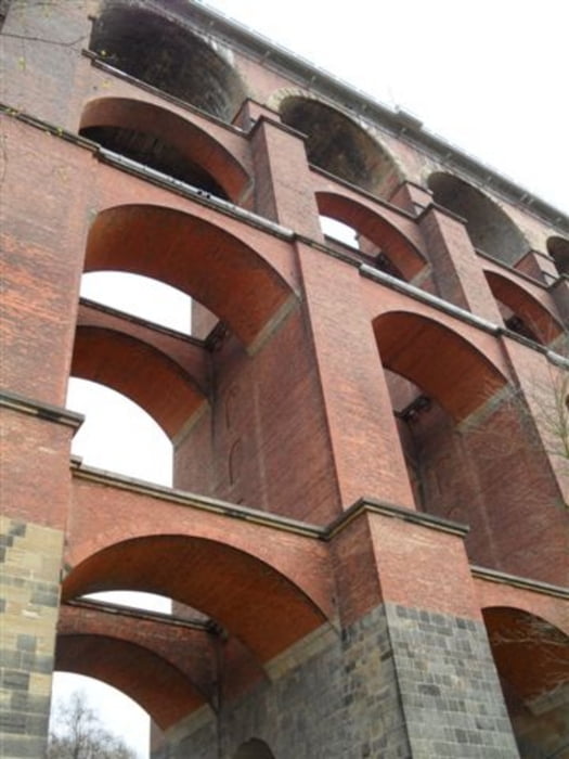
ein Fahrt zur Göltzschtalbrücke

Start ist in Gera auf dem Eltsterradweg

der Rückweg auf dem Pleißeradweg endet in Crimmitschau

Tour gallery

Tour map and elevation profile

  • Open Street Map
  • Google
Minimum height 184 m Maximum height 476 m Detailed view

More about the tour author

andi-leipzig
Member since 2009

Send private message

Comments

mit der Bahn bis Gera und von Crimmitschau zurück


GPS tracks

Trackpoints
  • GPX / Garmin Map Source (gpx) download
  • TCX / Garmin Training Center® (tcx) download
  • CRS / Garmin Training Center® (crs) download
  • Google Earth (kml) download
  • G7ToWin (g7t) download
  • TTQV (trk) download
  • Overlay (ovl) download
  • Fugawi (txt) download
  • Kompass (DAV) Track (tk) download
  • Track data sheet (pdf) download
  • Original file of the author (gpx) download

More about the tour author

andi-leipzig
Member since 2009

Send private message
Share track
Add to my favorites
Remove from my favorites
Edit tags
My score
Rate
Track: Gera-Goeltzschtal-Crimmitschau
Type: Trekkingbike
Distance: 79,6 km
Evaluated on:
Duration:
Day(s)
Hour(s)
Minute(s)
Score: Landscape Fun factor Fitness Technique