


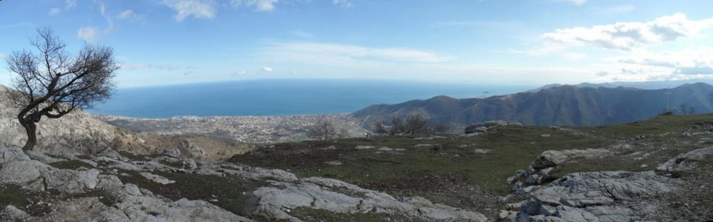
schwere Endurotour von Toirano auf den Mt. Acuto
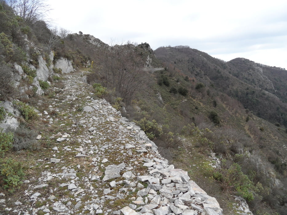
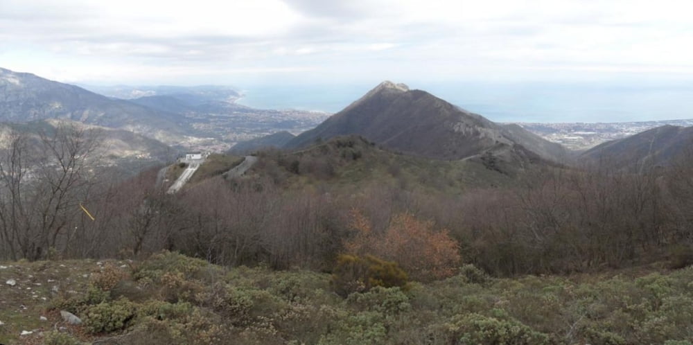
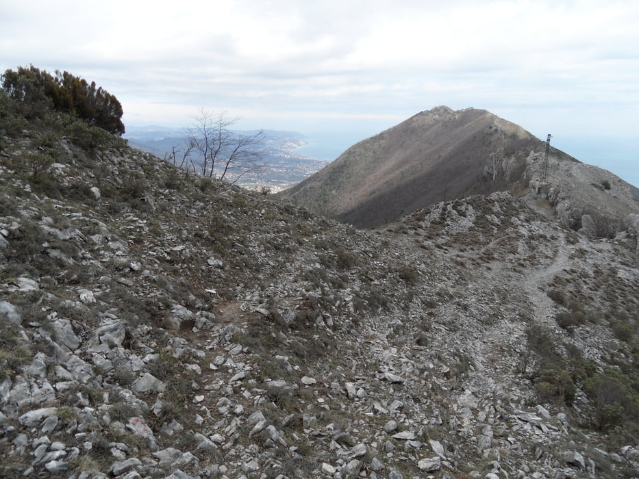
auf Straße bis zum Paß der SP44 (auf 700m). Ab dort auf einem anstrengenden bergauf Trail zu einem Hügel mit einer verlassenen Militärstation auf 810m und kurze Abfahrt zur Kapelle (Ende der parallelen Straße). Dann ca. 1,15Std ruppig bergauf/bergab auf verblocktem felsigem Grund, dabei ca. 20min schieben (siehe Bilder).
Ab dem Mt. Acuto dann eine S2-S3 Abfahrt nach Toirano. Richtung Tal wird es flowiger. Die Abfahrt ist was für trockenere Tage, ansonsten sollte man mit rutschigen/erdigen Wegen zurechtkommen.
Am Weg stehen Schilder zur Schlacht um Loano Ende des 17Jahrhunderts, siehe Link.
Further information at
http://www.napoleonsites.euTour gallery
Tour map and elevation profile
Minimum height 51 m
Maximum height 809 m
More about the tour author
|
|
skyhopper |
Comments

Start in Toirano. Am Tourstart ist ein großer Parkplatz.
GPS tracks
Trackpoints-
GPX / Garmin Map Source (gpx) download
-
TCX / Garmin Training Center® (tcx) download
-
CRS / Garmin Training Center® (crs) download
-
Google Earth (kml) download
-
G7ToWin (g7t) download
-
TTQV (trk) download
-
Overlay (ovl) download
-
Fugawi (txt) download
-
Kompass (DAV) Track (tk) download
-
Track data sheet (pdf) download
-
Original file of the author (gpx) download
More about the tour author
|
|
skyhopper |
Add to my favorites
Remove from my favorites
Edit tags
Open track
My score
Rate