Login

Forgot your login?

Cookies have to be accepted!
Your browser's cookie functionality is disabled. Please enable this functionality.

Not a member yet?

Register now
Login

Available for registred users only

Log in to use this feature.

Forgot your login?

Cookies have to be accepted!
Your browser's cookie functionality is disabled. Please enable this functionality.

Not a member yet?

Register now
Filter
Categories
Advanced filters
  • Distance (km)
  • Height
Save filters Reset filter

TrackRank

QRCode

Technical data

Distance13,7 km Height395 m Way down415 m Duration03:30 h:m Date29.03.2013
Scores Author Landscape Fun factor Fitness Technique

Statistics

738 Views Scores 90 Downloads Average
Rate
  • Track data sheet
  • Directions
  • Downloads

Eine sehr schöne Wandertour aus dem Droste Wanderführer "20 Wanderungen rund um Solingen/Remscheid".

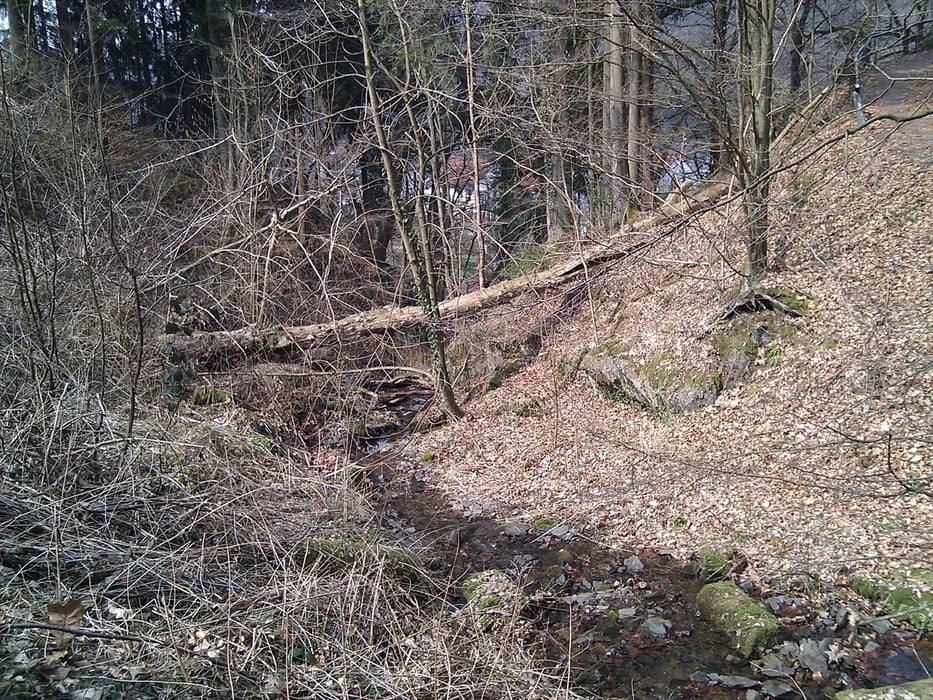
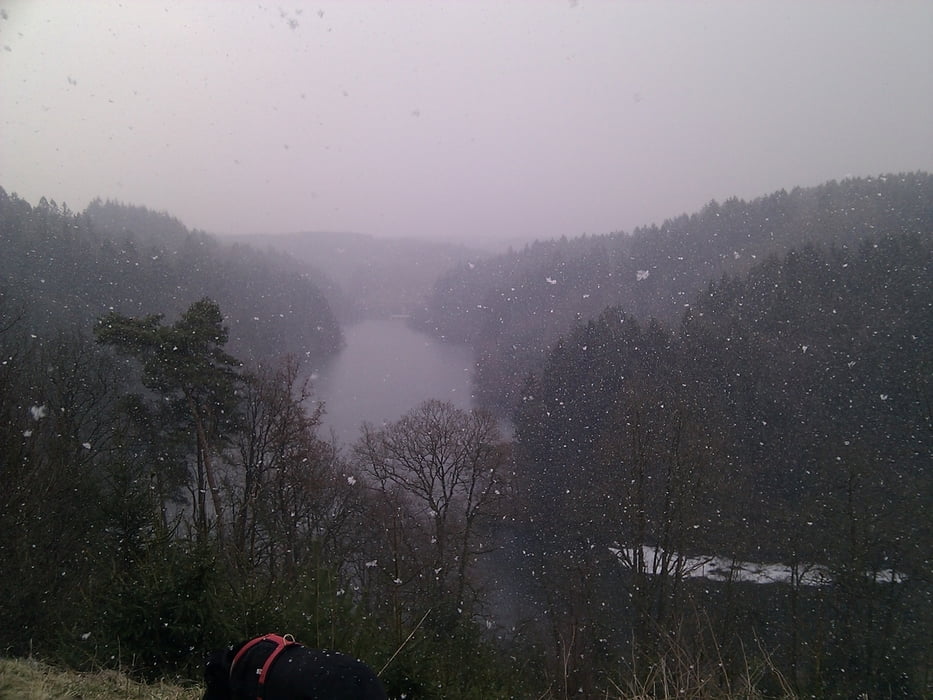
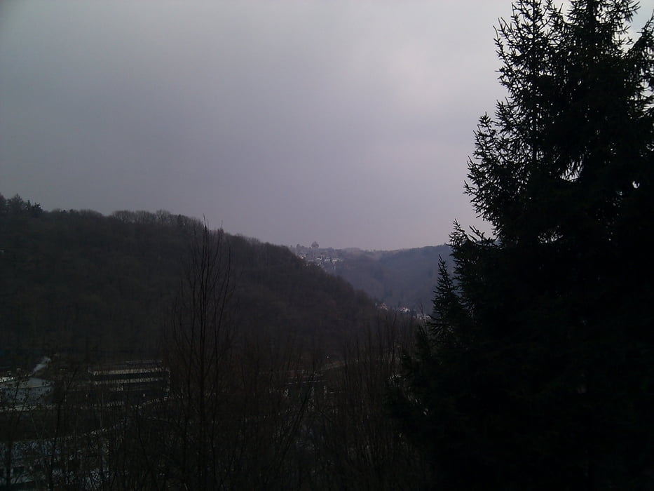
Die Tour ist wunderbar zu laufen, hat hier und da ein paar kräftige Anstiege udn steilere Abstiege. Das Landschaftsbild um die Talsperre ist wunderschön. Viel Nadelwald und bemooste Unterholzflächen. Ein für die Gegend typisches wunderschönes Naturbild.

Tour gallery

Tour map and elevation profile

  • Open Street Map
  • Google
Minimum height 70 m Maximum height 217 m Detailed view

More about the tour author

TobyDean
Member since 2011

Send private message

Comments

Parken kann man in Unterburg am Parkplatz zur Seilbahn.


GPS tracks

Trackpoints
  • GPX / Garmin Map Source (gpx) download
  • TCX / Garmin Training Center® (tcx) download
  • CRS / Garmin Training Center® (crs) download
  • Google Earth (kml) download
  • G7ToWin (g7t) download
  • TTQV (trk) download
  • Overlay (ovl) download
  • Fugawi (txt) download
  • Kompass (DAV) Track (tk) download
  • Track data sheet (pdf) download
  • Original file of the author (gpx) download

More about the tour author

TobyDean
Member since 2011

Send private message
Share track
Add to my favorites
Remove from my favorites
Edit tags
My score
Rate
Track: Um die Solinger Sengbachtalsperre und nach Schloß Burg
Type: Hiking
Distance: 13,7 km
Evaluated on:
Duration:
Day(s)
Hour(s)
Minute(s)
Score: Landscape Fun factor Fitness Technique