


-------------------------------------------------------------------------------------------------------------------------------------------
Quelle der GPS Touren ist die Almeria Bike Station
www.almeria-bike-tours.de
Wunderbare Betreuung und Verköstigung auf Haubenniveau durch Christel Steinhauser und Familie.
Shuttledienste und Verleih von MTBs und Quartier erfolgte ebenfalls durch die Bikestation
--------------------------------------------------------------------------------------------------------------------------------------------
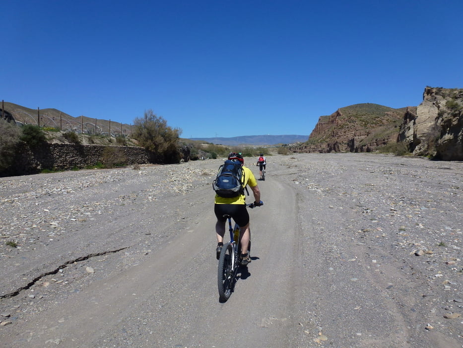
Start in Pechina. Über asphaltierte Strassen bis zu den Ramblas, dann eine Fahrt über Flussläufe und Sandpisten in die Wüste der Spaghettiwestern.
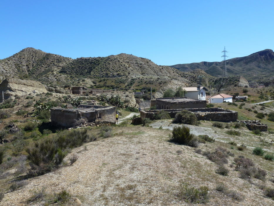
Nachher auf Wanderwegen und mittelschweren Trails durch die Pampa. Zwischenstation in FuenteSanta ein altes verlassenes Dorf an der Bahnstrecke Almeria-Granada zurück nach Pechina.
Tour gallery


Tour map and elevation profile
Minimum height 83 m
Maximum height 582 m
More about the tour author
|
|
abauchinger |
Comments

GPS tracks
Trackpoints-
GPX / Garmin Map Source (gpx) download
-
TCX / Garmin Training Center® (tcx) download
-
CRS / Garmin Training Center® (crs) download
-
Google Earth (kml) download
-
G7ToWin (g7t) download
-
TTQV (trk) download
-
Overlay (ovl) download
-
Fugawi (txt) download
-
Kompass (DAV) Track (tk) download
-
Track data sheet (pdf) download
-
Original file of the author (tcx) download
More about the tour author
|
|
abauchinger |
Add to my favorites
Remove from my favorites
Edit tags
Open track
My score
Rate