


-----------------------------------------------------------------------------------------------------------------------------------------
Quelle der GPS Touren ist die Almeria Bike Station
www.almeria-bike-tours.de
Wunderbare Betreuung und Verköstigung auf Haubenniveau durch Christel Steinhauser und Familie.
Shuttledienste und Verleih von MTBs und Quartier erfolgte ebenfalls durch die Bikestation
------------------------------------------------------------------------------------------------------------------------------------------
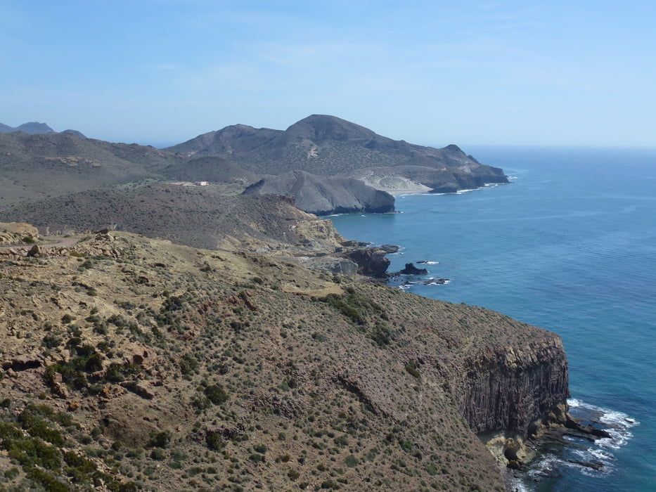
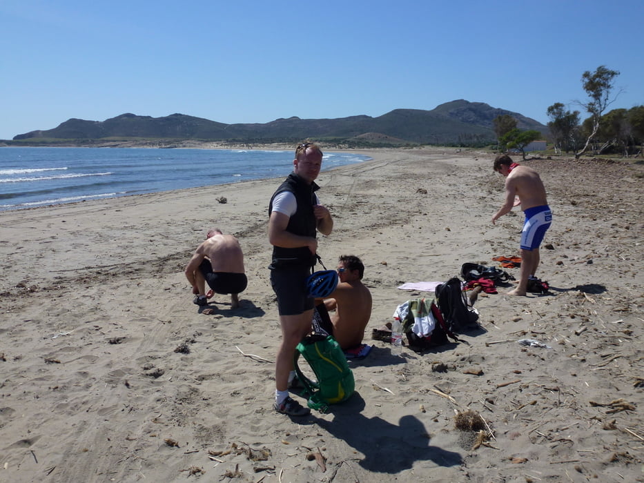
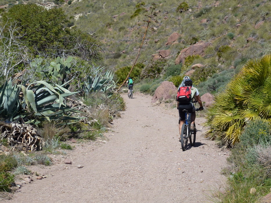
Tourstart bei den Salinen von Cabo de Gata. Hinauf zum Sendeturm auf dem Pico de Vela Blanca. Der Küste entlang auf Sand und Schotterpisten tw. auch Wanderpfade bis zu den wunderbaren Stränden Cala de la Media Luna und Playa Genovese.
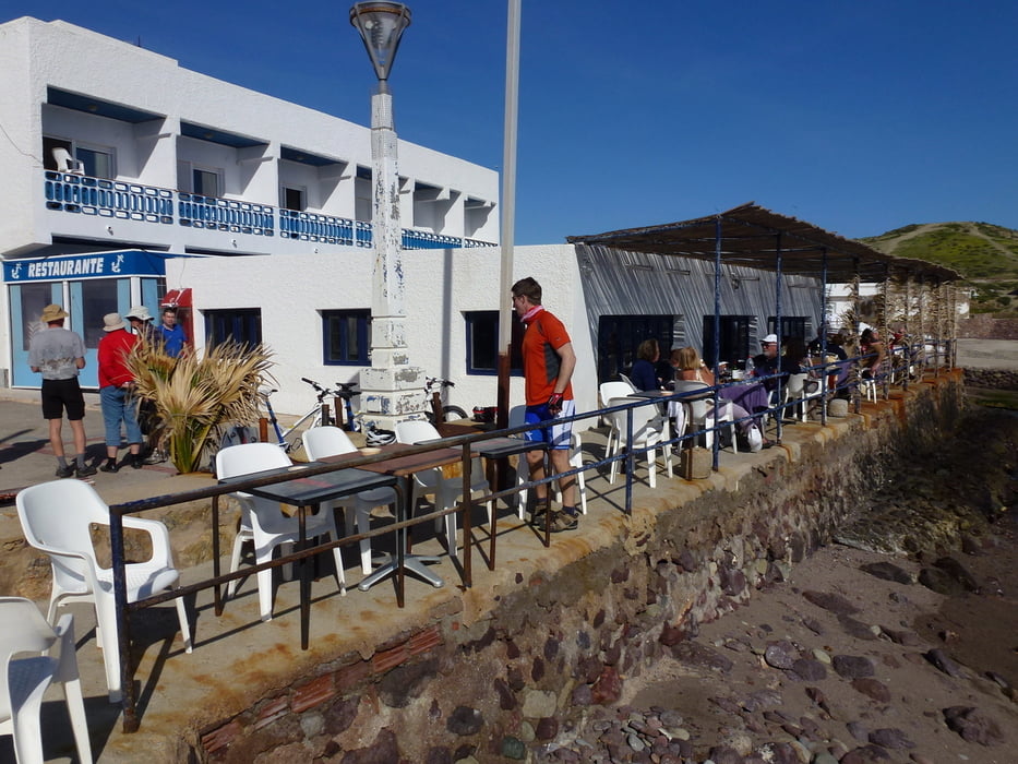
Stärkungsmöglichkeit in San Jose dann nopch etwas weiter bis ein Schwenk ins Landesinnere ansteht. Über Cortijo de los Frailes und die alten Goldminen bei Rodalquilar vorbei über einen wünderschöne Singletrailabfahrt durch einen Palmenhain nach La Isleta del Moro der Endstation.
Abschluss in einer Fischtaverne am wunderschönen Strand.
Tour gallery
Tour map and elevation profile
Minimum height -6 m
Maximum height 225 m
More about the tour author
|
|
abauchinger |
Comments

GPS tracks
Trackpoints-
GPX / Garmin Map Source (gpx) download
-
TCX / Garmin Training Center® (tcx) download
-
CRS / Garmin Training Center® (crs) download
-
Google Earth (kml) download
-
G7ToWin (g7t) download
-
TTQV (trk) download
-
Overlay (ovl) download
-
Fugawi (txt) download
-
Kompass (DAV) Track (tk) download
-
Track data sheet (pdf) download
-
Original file of the author (tcx) download
More about the tour author
|
|
abauchinger |
Add to my favorites
Remove from my favorites
Edit tags
Open track
My score
Rate