


------------------------------------------------------------------------------------------------------------------
Quelle der GPS Touren ist die Almeria Bike Station
www.almeria-bike-tours.de
Wunderbare Betreuung und Verköstigung auf Haubenniveau durch Christel Steinhauser und Familie.
Shuttledienste und Verleih von MTBs und Quartier erfolgte
ebenfalls durch die Bikestation
-------------------------------------------------------------------------------------------------------------------
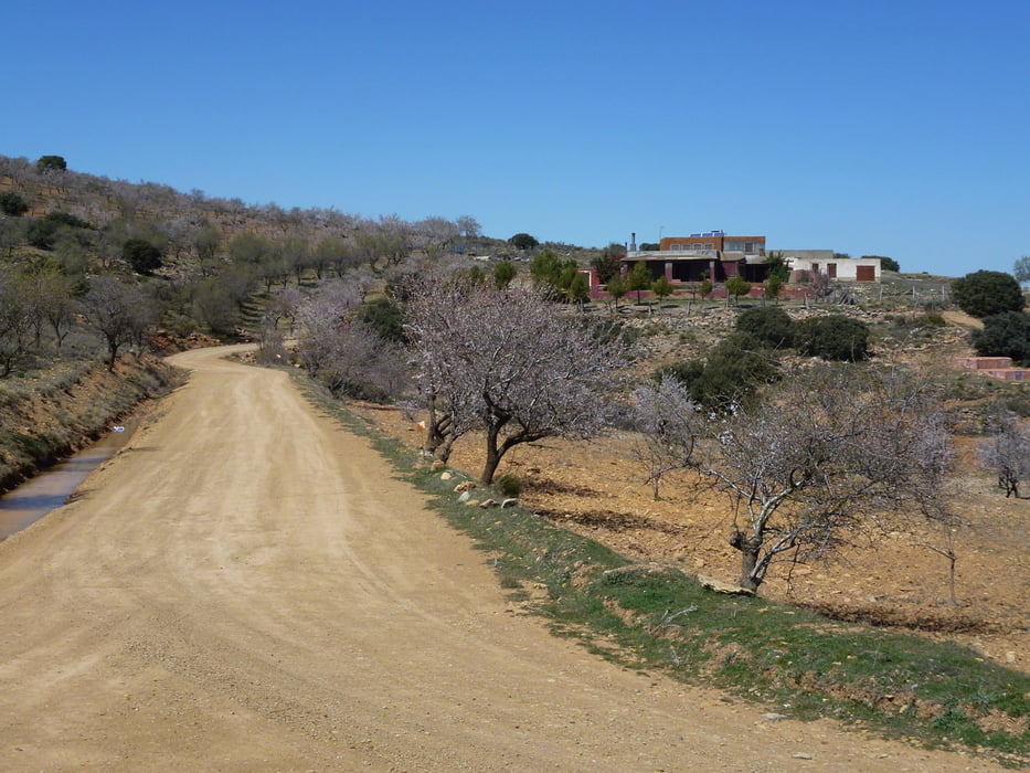
Eine Runde über die Sierra de Gator. Ist der Sierra Navada vorgelagert.
Startpunkt auf 700 M beim Windradpark. Auf leicht und stetig ansteigenden Sand- und Kiespiste bis auf 1440 M zur Kapelle Saturno mit Blick auf die verschneiten Berge der Sierra Nevada.
DIe Landschaft beeindruckt durch verschiedene Vegetationszonen Mandelbaum- und Kieferbaumbestände. Von der Kapelle geht es hinunter in dei Alpujarra almeriense durch kleine Dörfer mit dem Ende der Tour in der Taverne Perez in Alhabia.
Tour gallery


Tour map and elevation profile
Minimum height 280 m
Maximum height 1460 m
More about the tour author
|
|
abauchinger |
Comments

GPS tracks
Trackpoints-
GPX / Garmin Map Source (gpx) download
-
TCX / Garmin Training Center® (tcx) download
-
CRS / Garmin Training Center® (crs) download
-
Google Earth (kml) download
-
G7ToWin (g7t) download
-
TTQV (trk) download
-
Overlay (ovl) download
-
Fugawi (txt) download
-
Kompass (DAV) Track (tk) download
-
Track data sheet (pdf) download
-
Original file of the author (tcx) download
More about the tour author
|
|
abauchinger |
Add to my favorites
Remove from my favorites
Edit tags
Open track
My score
Rate