Login

Forgot your login?

Cookies have to be accepted!
Your browser's cookie functionality is disabled. Please enable this functionality.

Not a member yet?

Register now
Login

Available for registred users only

Log in to use this feature.

Forgot your login?

Cookies have to be accepted!
Your browser's cookie functionality is disabled. Please enable this functionality.

Not a member yet?

Register now
Filter
Categories
Advanced filters
  • Distance (km)
  • Height
Save filters Reset filter

TrackRank

QRCode

Technical data

Distance3,4 km Height68 m Way down82 m Duration01:00 h:m Date04.04.2013
Scores Author Landscape Fun factor Fitness Technique

Statistics

293 Views Scores 17 Downloads Average
Rate
  • Track data sheet
  • Directions
  • Downloads
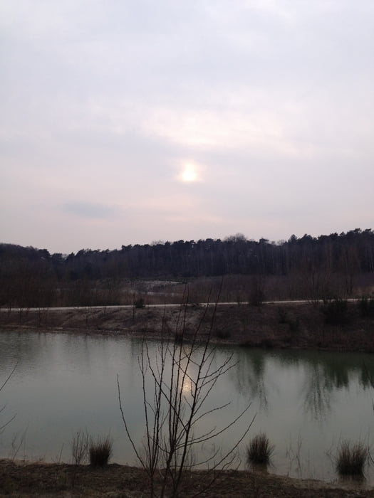
Leuke wandeling langs de afgravingen en de meertjes ontstaan door de grindwinning. Er zijn veel hoogteverschillen in deze korte wandeling met steeds weer een leuk uitzicht.

Tour gallery

Tour map and elevation profile

  • Open Street Map
  • Google
Minimum height 19 m Maximum height 61 m Detailed view

More about the tour author

andre593
Member since 2003

Send private message

Comments

Vanuit Belfeld, rijdt richting de A73 en vervolgens hier onderdoor. Ga met de bocht mee naar links en sla een paar honderd meter verderop rechtsaf richting Cafe Maalbeker hohe en de camping.

GPS tracks

Trackpoints
  • GPX / Garmin Map Source (gpx) download
  • TCX / Garmin Training Center® (tcx) download
  • CRS / Garmin Training Center® (crs) download
  • Google Earth (kml) download
  • G7ToWin (g7t) download
  • TTQV (trk) download
  • Overlay (ovl) download
  • Fugawi (txt) download
  • Kompass (DAV) Track (tk) download
  • Track data sheet (pdf) download
  • Original file of the author (gpx) download

More about the tour author

andre593
Member since 2003

Send private message
Share track
Add to my favorites
Remove from my favorites
Edit tags
My score
Rate
Track: Wandeling Maalbeker Hohe
Type: Hiking
Distance: 3,4 km
Evaluated on:
Duration:
Day(s)
Hour(s)
Minute(s)
Score: Landscape Fun factor Fitness Technique