Login

Forgot your login?

Cookies have to be accepted!
Your browser's cookie functionality is disabled. Please enable this functionality.

Not a member yet?

Register now
Login

Available for registred users only

Log in to use this feature.

Forgot your login?

Cookies have to be accepted!
Your browser's cookie functionality is disabled. Please enable this functionality.

Not a member yet?

Register now
Filter
Categories
Advanced filters
  • Distance (km)
  • Height
Save filters Reset filter

TrackRank

QRCode

Technical data

Distance7,2 km Height830 m Way down796 m Duration02:27 h:m Date05.04.2013
Scores Author Landscape Fun factor Fitness Technique

Statistics

245 Views Scores 35 Downloads Average
Rate
  • Track data sheet
  • Directions
  • Downloads

Aufstieg 1Std.55min
Abfahrt 32min.


Tour gallery

Tour map and elevation profile

  • Open Street Map
  • Google
Minimum height 1136 m Maximum height 1972 m Detailed view

More about the tour author

harald07071
Member since 2008

Send private message

Comments

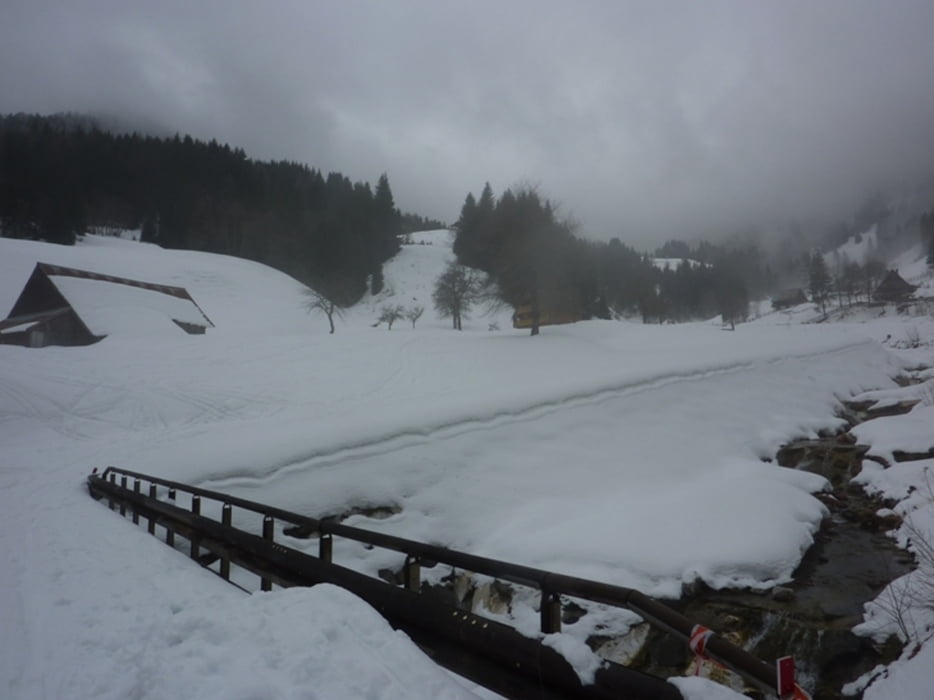
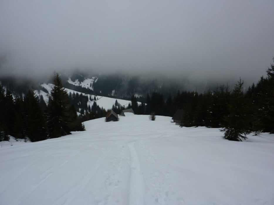
Man biegt von der Staatsstraße nach Tavis bei Ugovizza rechts ab, dann geht eine Bergstraße hinauf auf über 1000 Meter bis zu einem Parkplatz. (Schneketten sind von Vorteil)


GPS tracks

Trackpoints
  • GPX / Garmin Map Source (gpx) download
  • TCX / Garmin Training Center® (tcx) download
  • CRS / Garmin Training Center® (crs) download
  • Google Earth (kml) download
  • G7ToWin (g7t) download
  • TTQV (trk) download
  • Overlay (ovl) download
  • Fugawi (txt) download
  • Kompass (DAV) Track (tk) download
  • Track data sheet (pdf) download
  • Original file of the author (gpx) download

More about the tour author

harald07071
Member since 2008

Send private message
Share track
Add to my favorites
Remove from my favorites
Edit tags
My score
Rate
Track: Monte Cocco (1941m)
Type: Ski touring
Distance: 7,2 km
Evaluated on:
Duration:
Day(s)
Hour(s)
Minute(s)
Score: Landscape Fun factor Fitness Technique