


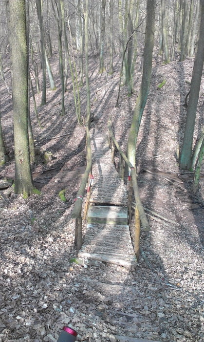
!!! Wichtig !!! Ich bin zwischen Furschweiler und Gehweiler rechts auf den Schmugglerpfad gefahren, bitte fahrt nach LINKS auf den Schmugglerpfad. Wenn ihr also nach links fahrt erwartet euch ein wunderschöner Trail, der am Schützenhaus endet. Auf diesem Trail gibt es steinige Stücke, Spitzkehren(umfahrbar), aber auch Stücke, auf denen man es laufen lassen kann. Danach führt der Weg viel über Wiesen, es gibt aber auch noch ein par Trails
Alles in Allem eine spaßige und technisch nicht zu anspruchsvolle Runde.
PS:Wenn ihr die Tour fahrt bewertet sie bitte auch
Der Track ist Leider etwas ungenau aber dank der Schilder findet man den Weg
Tour gallery

Tour map and elevation profile
Minimum height 353 m
Maximum height 534 m
More about the tour author

|
jd_jd |
Comments

GPS tracks
Trackpoints-
GPX / Garmin Map Source (gpx) download
-
TCX / Garmin Training Center® (tcx) download
-
CRS / Garmin Training Center® (crs) download
-
Google Earth (kml) download
-
G7ToWin (g7t) download
-
TTQV (trk) download
-
Overlay (ovl) download
-
Fugawi (txt) download
-
Kompass (DAV) Track (tk) download
-
Track data sheet (pdf) download
-
Original file of the author (gpx) download
More about the tour author
|
|
jd_jd |
Add to my favorites
Remove from my favorites
Edit tags
Open track
My score
Rate