Login

Forgotten password?

Cookies have to be accepted!
Your browser's cookie functionality is disabled. Please enable this functionality.

Not a member yet?

Register now
Login

Available for registred users only

Log in to use this feature.

Forgotten password?

Cookies have to be accepted!
Your browser's cookie functionality is disabled. Please enable this functionality.

Not a member yet?

Register now
Filter
Categories
Advanced filters
  • Distance (km)
  • Height
Save filters Reset filter

TrackRank

QRCode

Technical data

Distance30,7 km Height702 m Way down571 m Duration00:00 h:m Date11.04.2013
Scores Author Landscape Fun factor Fitness Technique

Statistics

125 Views Scores 15 Downloads Average
Rate
  • Track data sheet
  • Directions
  • Downloads
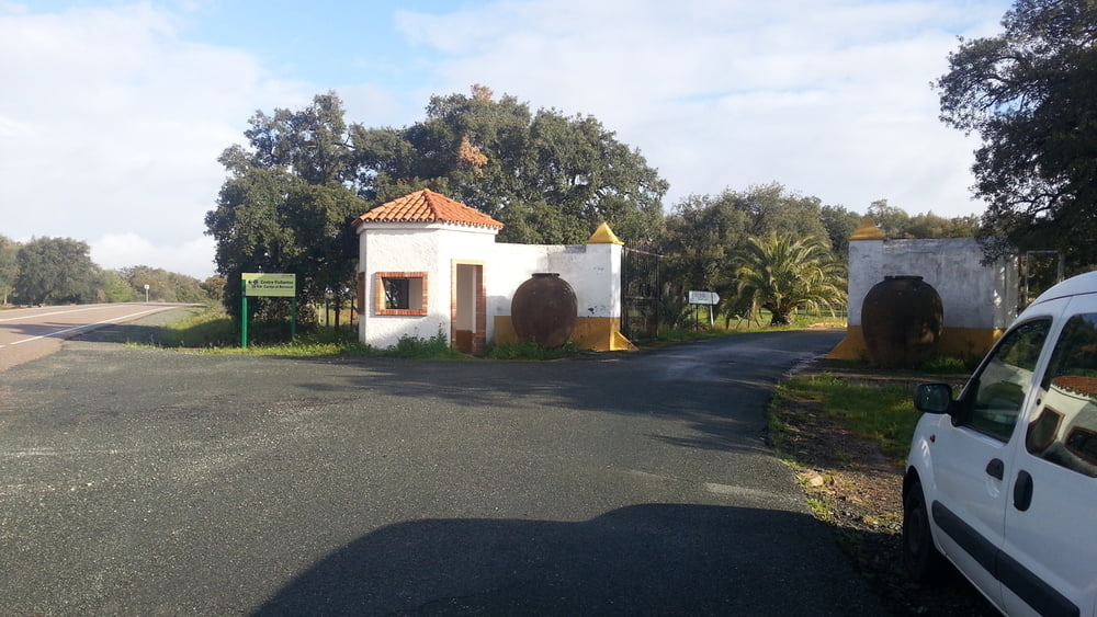
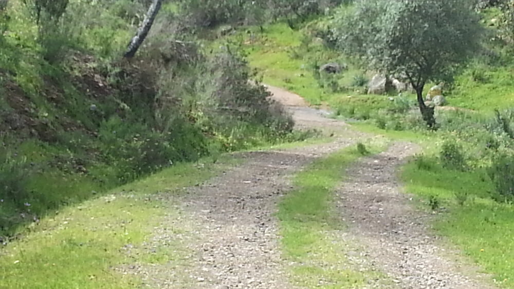
Ruta que transcurre por la Finca de El Berrocal (parte del trazado del Camino de Santiago por la Vía de La Plata).

Tour gallery

Tour map and elevation profile

  • Open Street Map
  • Google
Minimum height 314 m Maximum height 565 m Detailed view

More about the tour author

juliobtt
Member since 2013

Send private message

Comments

GPS tracks

Trackpoints
  • GPX / Garmin Map Source (gpx) download
  • TCX / Garmin Training Center® (tcx) download
  • CRS / Garmin Training Center® (crs) download
  • Google Earth (kml) download
  • G7ToWin (g7t) download
  • TTQV (trk) download
  • Overlay (ovl) download
  • Fugawi (txt) download
  • Kompass (DAV) Track (tk) download
  • Track data sheet (pdf) download
  • Original file of the author (gpx) download

More about the tour author

juliobtt
Member since 2013

Send private message
Share track
Add to my favorites
Remove from my favorites
Edit tags
My score
Rate
Track: El Berrocal Light
Type: Mountain bike
Distance: 30,7 km
Evaluated on:
Duration:
Day(s)
Hour(s)
Minute(s)
Score: Landscape Fun factor Fitness Technique