

Ausgangspunkt ist die Frosch-Destination "Vent-i-mar," genial gelegen an der Strandpromenade in Can Picafort: Details s. http://www.frosch-sportreisen.de/sportreisen/sportclub-mallorca.aspx
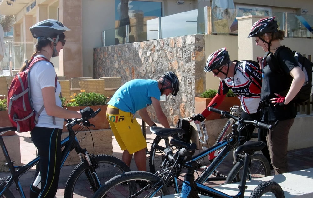
Voila, die erste leichte MTB-Tour der Woche zum Eingewöhnen. Vor dem Start gibt Marcel, unser Tourguide, noch einen praktischen Kurs in der Kunst der schnellen Plattfußbeseitigung (Foto1).
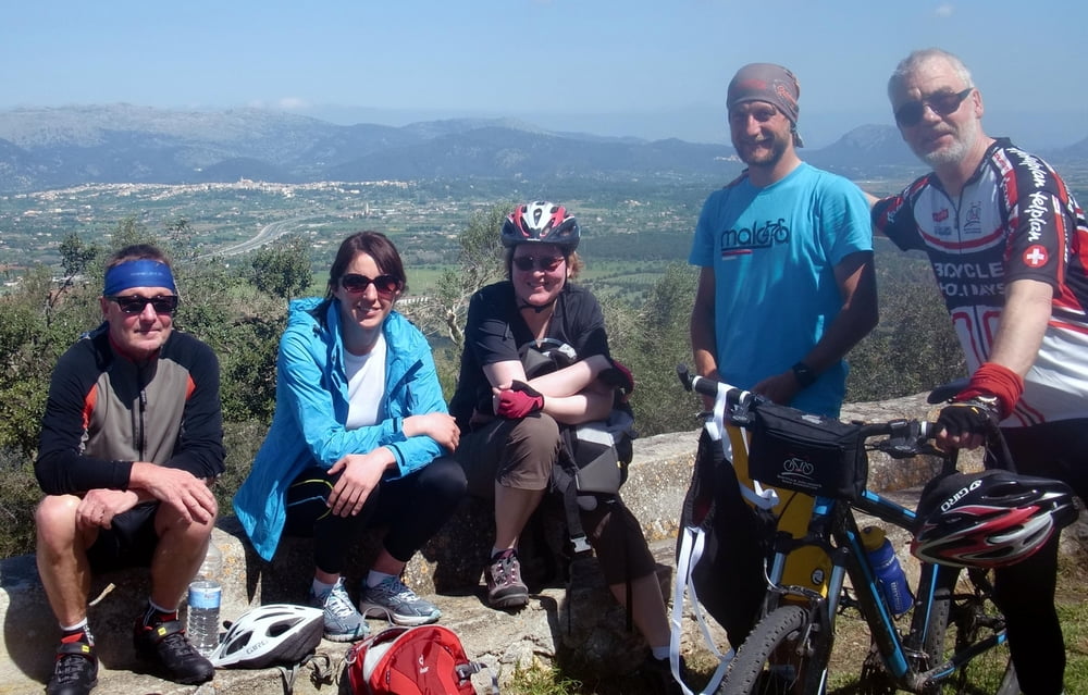
Nach 30 km auf Nebenwegen (teilweise geschottert) erreichen wir den Puig de Inca mit grandioser Fernsicht über die Insel (Foto2).
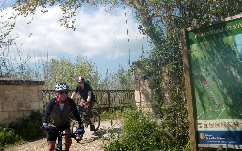
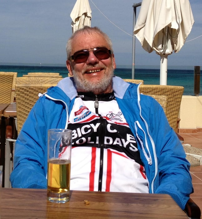
Zurück mit Kaffeepause im schönen Ort Búger, die Kartoffelhauptstadt Sa Pobla umrundend, durchqueren wir die Sümpfe im Naturpark Albufera (Foto3) und erreichen glücklich und zufrieden die Sonnenterrasse im Frosch-Hotel, wo wir es uns nach vollendeter Tour wieder gut gehen lassen (Foto4).
Tour gallery
Tour map and elevation profile
Minimum height -9 m
Maximum height 287 m
More about the tour author
|
|
Bruno |
Comments

GPS tracks
Trackpoints-
GPX / Garmin Map Source (gpx) download
-
TCX / Garmin Training Center® (tcx) download
-
CRS / Garmin Training Center® (crs) download
-
Google Earth (kml) download
-
G7ToWin (g7t) download
-
TTQV (trk) download
-
Overlay (ovl) download
-
Fugawi (txt) download
-
Kompass (DAV) Track (tk) download
-
Track data sheet (pdf) download
-
Original file of the author (gpx) download
More about the tour author
|
|
Bruno |
Add to my favorites
Remove from my favorites
Edit tags
Open track
My score
Rate