

Sehr schöne Tour aus Tippeltouren 11. Großer Teil Eifelsteig. Die 4 Stunden Gehzeit sind ohne längere Pausen und Abstecher, z. B. in die einladenden Geschäfte und Cafes Monschaus.
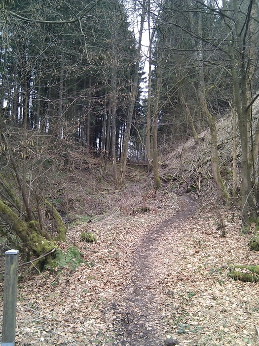
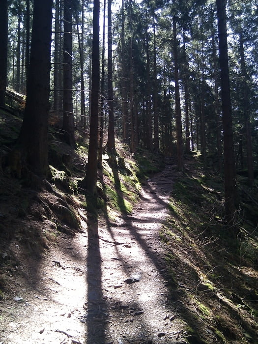
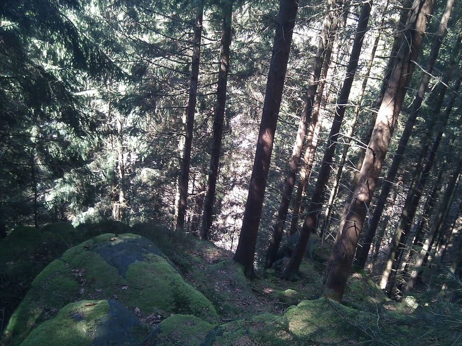
Der Titel ist Programm - auf und ab. Man sieht typische Eifellandschaftschaften mit teilweise alpinem Charakter. Die Tour ist echt zu empfehlen. In der dortigen Gegend gibt es ja einige Touren.
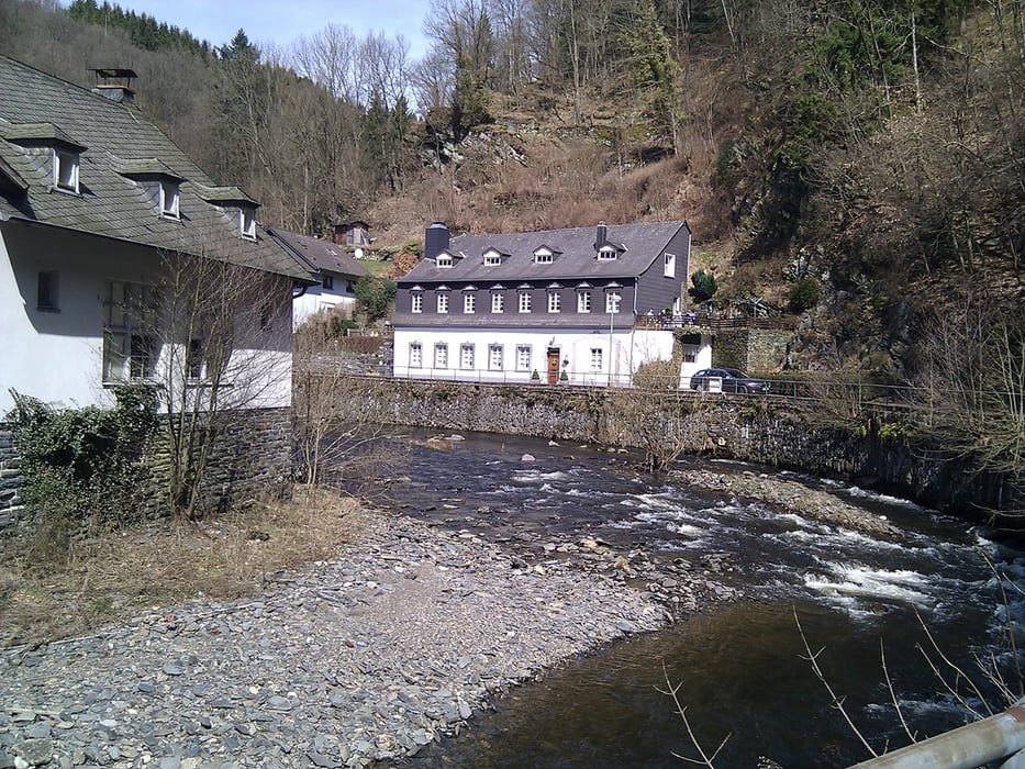
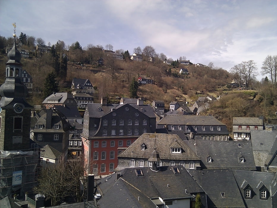
Die Tour startet in Höfen und führt dann durchs "Heckenland" bis zur Kluckbachhütte und von der Eifelsicht über Monschau zur Perlenbachsperre wieder nach Höfen durch den Nationalpark zurück. Es sind einige nette An-, aber auch Abstiege dabei.
Tour gallery
Tour map and elevation profile
Minimum height 366 m
Maximum height 550 m
More about the tour author

|
TobyDean |
Comments

Parken auf dem Parkplatz Nationalparktor an der B258 von Monschau Richtung Schleiden. Hinter der alten Molkerei (Gaststätte und Museum) geht recht ein Weg zum Parkplatz ab. Nicht so toll ausgeschildert, deshalb ein bisschen darauf achten.
GPS tracks
Trackpoints-
GPX / Garmin Map Source (gpx) download
-
TCX / Garmin Training Center® (tcx) download
-
CRS / Garmin Training Center® (crs) download
-
Google Earth (kml) download
-
G7ToWin (g7t) download
-
TTQV (trk) download
-
Overlay (ovl) download
-
Fugawi (txt) download
-
Kompass (DAV) Track (tk) download
-
Track data sheet (pdf) download
-
Original file of the author (gpx) download
More about the tour author
|
|
TobyDean |
Add to my favorites
Remove from my favorites
Edit tags
Open track
My score
Rate