


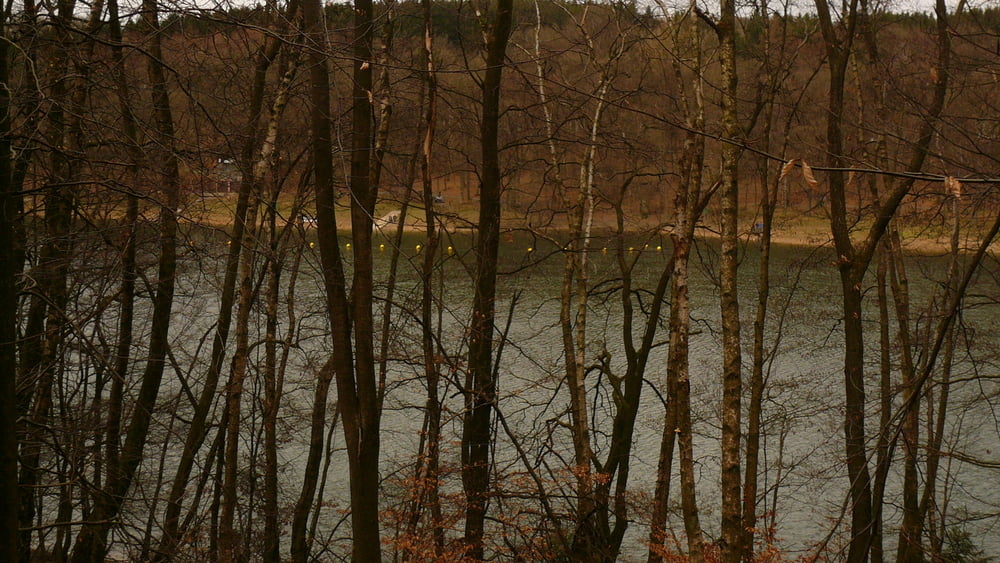
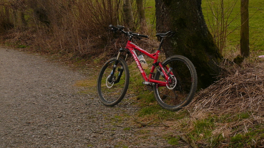
Start in der Falkenstraße, und über die Eröffnung des Parcours de coeurs (am Lauftreff Büchermühle) - bin ein kurzes Stück mitgefahren- weiter Ri. Ennepetalsperre, am Vorstaubecken Ri. Nieder Vahlefeld und weiter über Vormbaum und Grünenbaum hinunter zur Glör, tlw. umrunden bis zur Sperrmauer (Bikertreff: an diesem Sonntag konnte man die Menschenmassen und Mopeds? gar nicht zählen), hoch nach Rotthausen, weiter nach Schöneberge, durch das Waldgebiet (mit Blick auf das riesige Firmengebäude von Leoni) und über die L 528 bzw. Hagener Straße - nach einen kleinen Eis in der Frankfurterstraße - zurück nach Hause.
Tour gallery

Tour map and elevation profile
Minimum height 313 m
Maximum height 440 m
More about the tour author
|
|
neuser |
Comments

GPS tracks
Trackpoints-
GPX / Garmin Map Source (gpx) download
-
TCX / Garmin Training Center® (tcx) download
-
CRS / Garmin Training Center® (crs) download
-
Google Earth (kml) download
-
G7ToWin (g7t) download
-
TTQV (trk) download
-
Overlay (ovl) download
-
Fugawi (txt) download
-
Kompass (DAV) Track (tk) download
-
Track data sheet (pdf) download
-
Original file of the author (gpx) download
More about the tour author
|
|
neuser |
Add to my favorites
Remove from my favorites
Edit tags
Open track
My score
Rate