


Hallo zusammen,
hier nochmal eine kleine Trainingsrunde zum einsteigen bzw. auch eine schöne Feierabendrunde. 40%Hauptstrasse, 60% Fahrradweg. Die Strecke ist komplett geteert, also Für Rennrad aber auch für MTB oder Trekingrad geeignet. Die Strecke weißt keinerlei Schwierigkeiten auf. Man kann sie auch schon für in den Morgenstunden fahren, weil sie zu 95% in der Sonne (sollte sie scheinen) verläuft.
Routenbeschreibung:
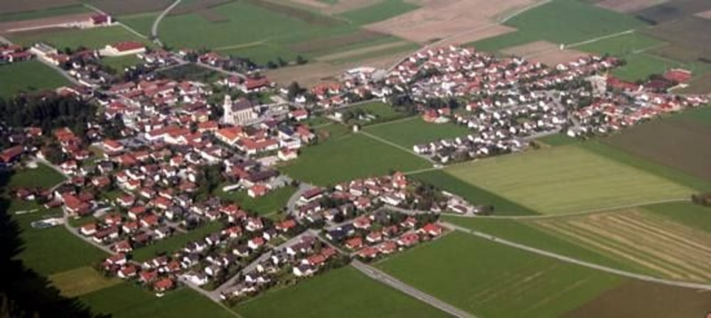
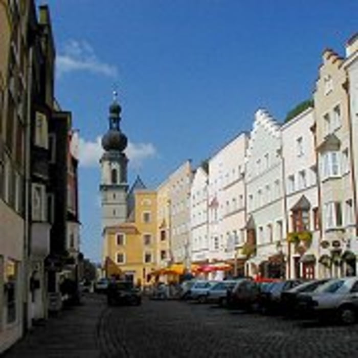
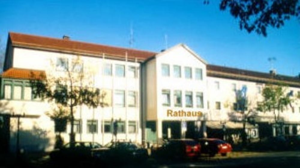
Tacherting-Feichten-Gigling-Palling-Traunreut-St.Georgen-Stein an der Alz-Altenmarkt-Trostberg-Schalchen-Tacherting.
Viel Spass beim Nachfahren.
Further information at
http://www.tacherting.deTour gallery

Tour map and elevation profile
Minimum height 431 m
Maximum height 561 m
More about the tour author
|
|
andi084 |
Comments

Von Traunstein Richtung Trostberg, dann noch 6km auf Tacherting.
Von Altötting Richtung Garching an der Alz, von dort weiter Richtung Trostberg, nach 6km erreicht man Tacherting.
GPS tracks
Trackpoints-
GPX / Garmin Map Source (gpx) download
-
TCX / Garmin Training Center® (tcx) download
-
CRS / Garmin Training Center® (crs) download
-
Google Earth (kml) download
-
G7ToWin (g7t) download
-
TTQV (trk) download
-
Overlay (ovl) download
-
Fugawi (txt) download
-
Kompass (DAV) Track (tk) download
-
Track data sheet (pdf) download
-
Original file of the author (gpx) download
More about the tour author
|
|
andi084 |
Add to my favorites
Remove from my favorites
Edit tags
Open track
My score
Rate