


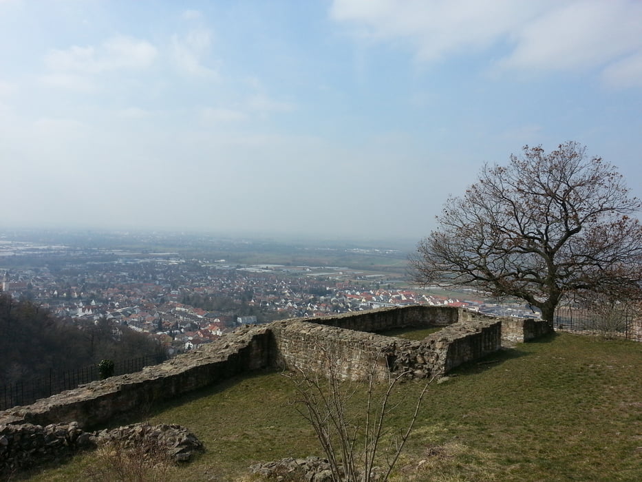
Los geht's in Schriesheim mit kontinuierlichem Anstieg zum Weißen Stein (Dossenheim). Von dort aus geht's auf einem kurzen, aber flowigen Trail zur Thinkstätte (Heiligenberg, Heidelberg) mit kurzem Anstieg. Von hier aus führt ein super schöner Trail mit top Panorama nach Handschuhsheim (teilweise technisch mit Treppenstufen). Nun geht es kurz über Nebenstraßen nach Dossenheim, um hier den letzten Anstieg zur Schauenburg in Angriff zu nehmen. Nachdem man an der Schauenburg kurz die Aussicht genossen hat, steigt man hier in den letzten Trail nach Schriesheim zurück ein.
Tour gallery
Tour map and elevation profile
Minimum height 168 m
Maximum height 618 m
More about the tour author
|
|
Trailrunner82 |
Comments

GPS tracks
Trackpoints-
GPX / Garmin Map Source (gpx) download
-
TCX / Garmin Training Center® (tcx) download
-
CRS / Garmin Training Center® (crs) download
-
Google Earth (kml) download
-
G7ToWin (g7t) download
-
TTQV (trk) download
-
Overlay (ovl) download
-
Fugawi (txt) download
-
Kompass (DAV) Track (tk) download
-
Track data sheet (pdf) download
-
Original file of the author (gpx) download
More about the tour author
|
|
Trailrunner82 |
Add to my favorites
Remove from my favorites
Edit tags
Open track
My score
Rate