


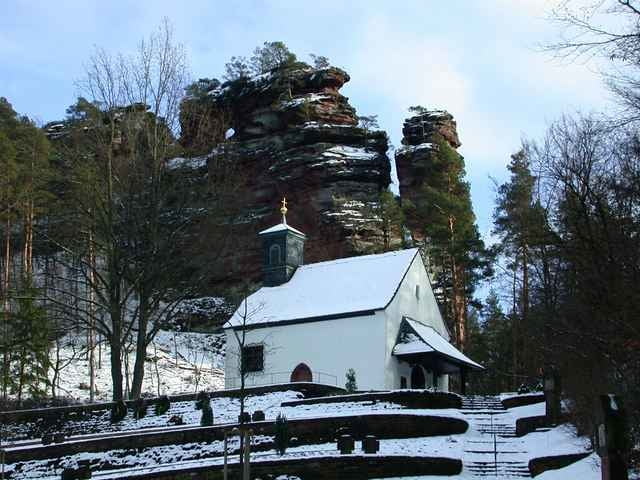
Die Wanderung beginnt am Bahnhof in Hauenstein und endet am Südbahnhof in Dahn. Es geht über \"4 Buchen\", \"Jungwald\", \"Winterkirchel\", \"Dicke Eiche\" nach Erfweiler und von dort vorbei an den Ruinen von Altdahn weiter bis Dahn.
Tour gallery
Tour map and elevation profile
Minimum height 207 m
Maximum height 424 m
More about the tour author
|
|
KD250761 |
Comments

Hauenstein liegt direkt an der B10 zwischen Pirmasens und Landau. Zum Bahnhof biegt man sofort nach Verlassen der B10 (noch vor denm Ort Hauenstein)in eine kleine Straße nach rechts ab. Da der Rückweg mit dem Zug von Dahn nach Hauenstein etwas umständlich ist (Umsteigen in Hiterweidenthal, nur wenige Züge) empfehle ich zuerst nach Dahn zu fahren und das Auto dort am Bahnhof zu parken. Dann mit dem Zug zurück nach Hauenstein und die Wanderung starten, so daß man bei der Ankunft in Dahn sein Auto schon da hat. Die Zugverbindungszeiten sollte man vorsichtshalber vorher bei der DB erfragen.
GPS tracks
Trackpoints-
GPX / Garmin Map Source (gpx) download
-
TCX / Garmin Training Center® (tcx) download
-
CRS / Garmin Training Center® (crs) download
-
Google Earth (kml) download
-
G7ToWin (g7t) download
-
TTQV (trk) download
-
Overlay (ovl) download
-
Fugawi (txt) download
-
Kompass (DAV) Track (tk) download
-
Track data sheet (pdf) download
-
Original file of the author (gpx) download
More about the tour author
|
|
KD250761 |
Add to my favorites
Remove from my favorites
Edit tags
Open track
My score
Rate