


Mössingen - Ofterdingen - Bodelshausen - Sickingen - Hechingen - Weilheim - Rangendingen - Haigerloch - Bad Immnau - Mühringen - Felldorf - Starzach - Wachendorf - Frommenhausen - Hirrlingen - Hemmendorf - Dettingen - Ofterdingen - Mössingen
Die Radwege sind sehr gut ausgebaut und gut befahrbar. Die Teile der Strecke auf denen man auf die Straße ausweichen muss sind wenig befahren.
Further information at
http://www.moessingen.de/de/startseiteTour gallery

Tour map and elevation profile
Minimum height 384 m
Maximum height 556 m
More about the tour author
|
|
SirAbsolom |
Comments

Mössingen bildet den südöstlichen Teil des Landkreises Tübingen und liegt damit zentral innerhalb der Region Neckar-Alb sowie des Landes Baden-Württemberg.
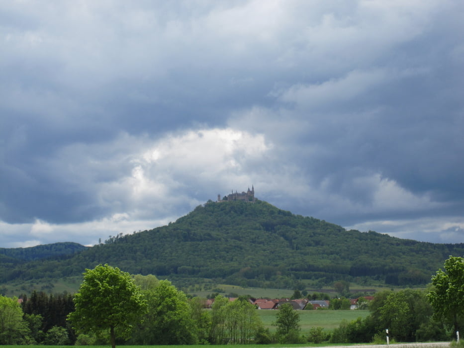
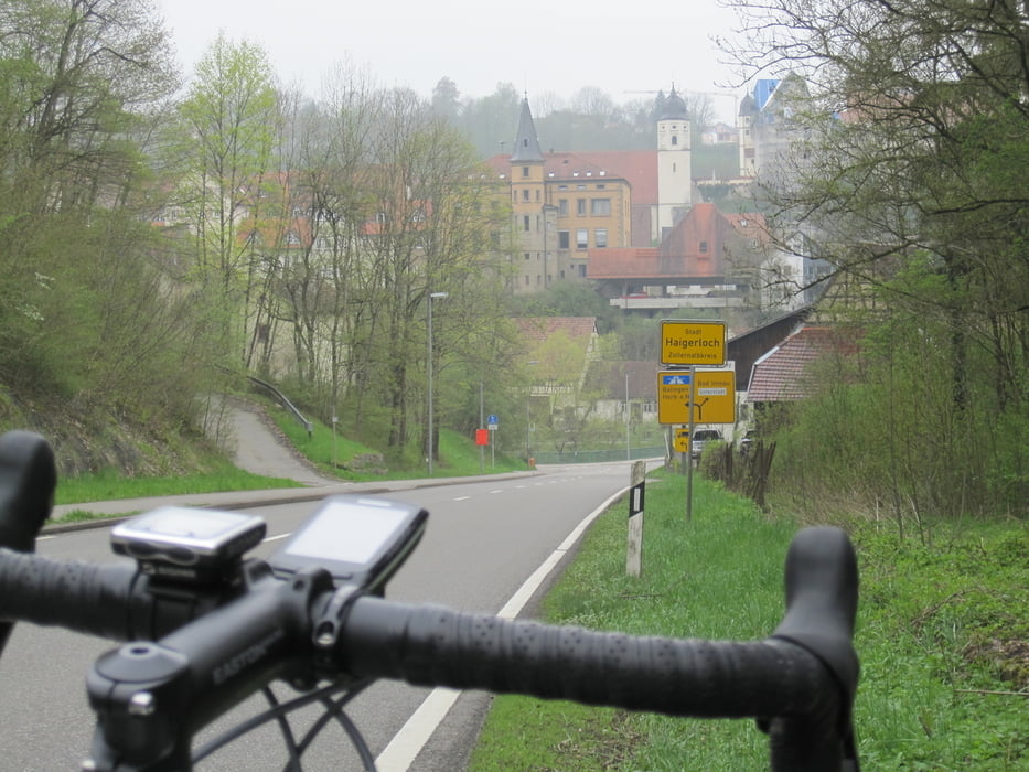
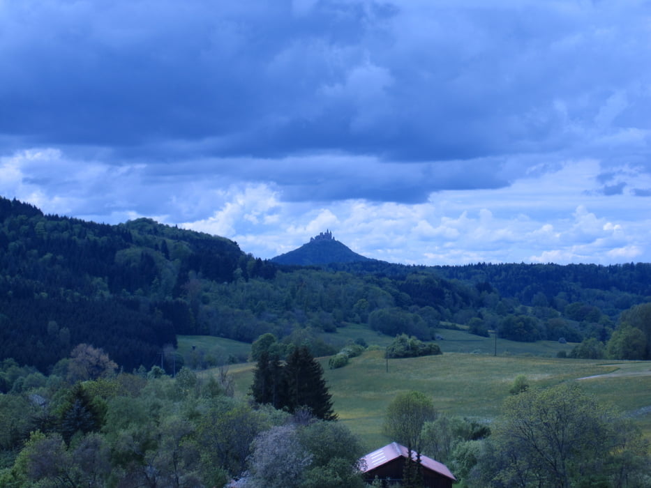
Haigerloch liegt nordwestlich der Schwäbischen Alb in 430 bis 550 Meter Höhe im Tal der Eyach, einem steilen Muschelkalktal, das gerade hier zwei Schlingen bildet. Haigerloch nennt sich deshalb das Felsenstädtchen. Aufgrund des wildwachsenden Flieders ist auch die Bezeichnung „Fliederstädtchen“ geläufig.
GPS tracks
Trackpoints-
GPX / Garmin Map Source (gpx) download
-
TCX / Garmin Training Center® (tcx) download
-
CRS / Garmin Training Center® (crs) download
-
Google Earth (kml) download
-
G7ToWin (g7t) download
-
TTQV (trk) download
-
Overlay (ovl) download
-
Fugawi (txt) download
-
Kompass (DAV) Track (tk) download
-
Track data sheet (pdf) download
-
Original file of the author (gpx) download
More about the tour author
|
|
SirAbsolom |
Add to my favorites
Remove from my favorites
Edit tags
Open track
My score
Rate