Login

Forgot your login?

Cookies have to be accepted!
Your browser's cookie functionality is disabled. Please enable this functionality.

Not a member yet?

Register now
Login

Available for registred users only

Log in to use this feature.

Forgot your login?

Cookies have to be accepted!
Your browser's cookie functionality is disabled. Please enable this functionality.

Not a member yet?

Register now
Filter
Categories
Advanced filters
  • Distance (km)
  • Height
Save filters Reset filter

TrackRank

QRCode

Technical data

Distance20,5 km Height1060 m Way down1022 m Duration02:00 h:m Date12.10.2007
Scores Author Landscape Fun factor Fitness Technique

Statistics

512 Views Scores 145 Downloads Average
Rate
  • Track data sheet
  • Directions
  • Downloads
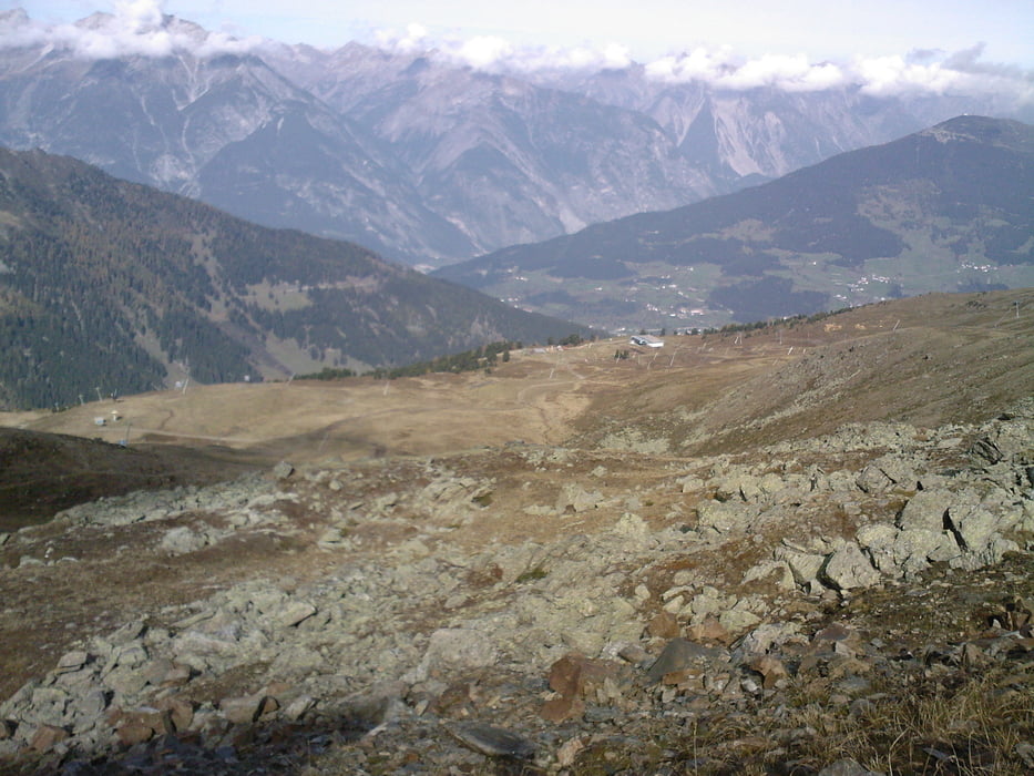
immer dem Forstweg nach. viel Verkehr sprich viele Wanderer, Biker,.... ein paar kurze Steilere Passagen aber aufgrund des guten Untergrund leicht zu meistern

Tour gallery

Tour map and elevation profile

  • Open Street Map
  • Google
Minimum height 1433 m Maximum height 2482 m Detailed view

More about the tour author

tomi
Member since 2005

Send private message

Comments

Von Landeck nach Fließ ( oder durch den Tunnel)weier nach Ried im Oberinntal rechts nach Fiss

GPS tracks

Trackpoints
  • GPX / Garmin Map Source (gpx) download
  • TCX / Garmin Training Center® (tcx) download
  • CRS / Garmin Training Center® (crs) download
  • Google Earth (kml) download
  • G7ToWin (g7t) download
  • TTQV (trk) download
  • Overlay (ovl) download
  • Fugawi (txt) download
  • Kompass (DAV) Track (tk) download
  • Track data sheet (pdf) download
  • Original file of the author (gpx) download

More about the tour author

tomi
Member since 2005

Send private message
Share track
Add to my favorites
Remove from my favorites
Edit tags
My score
Rate
Track: Fisser Jöchl
Type: Mountain bike
Distance: 20,5 km
Evaluated on:
Duration:
Day(s)
Hour(s)
Minute(s)
Score: Landscape Fun factor Fitness Technique