
")

Die ersten 8 km sind anstrengend. 660 positive Hm und nur 8 negative Hm.
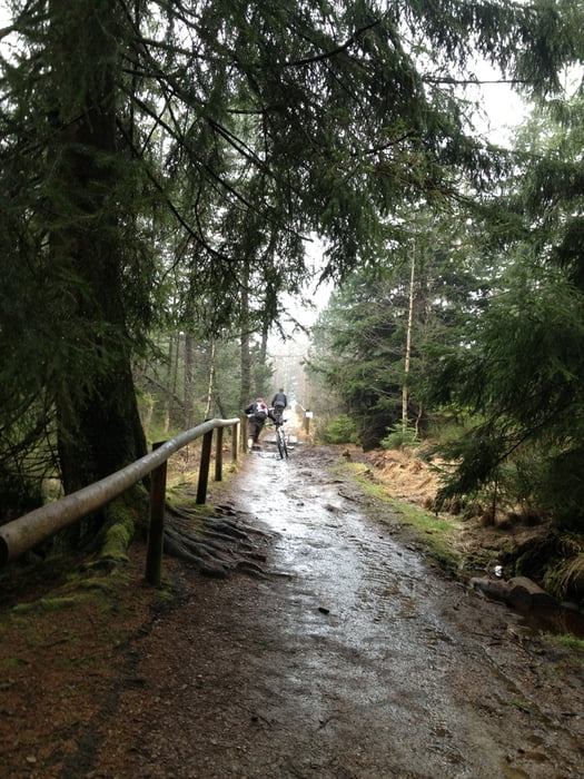
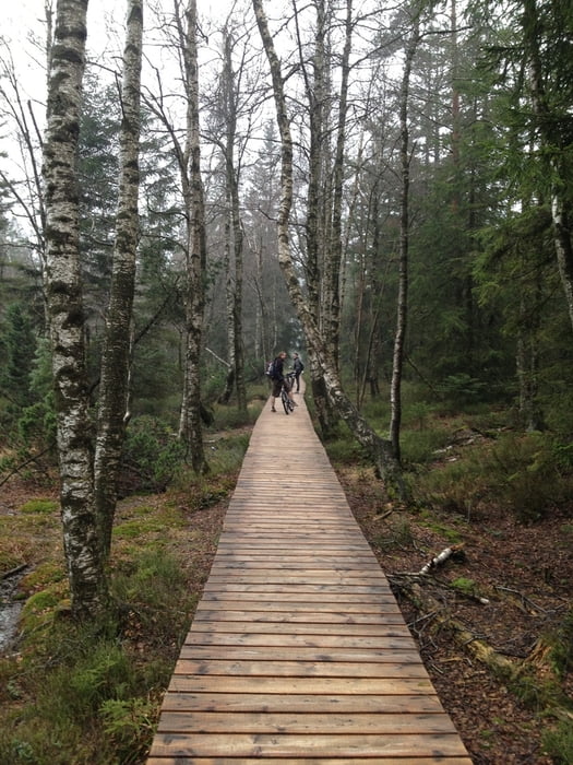
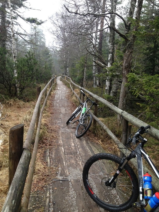
Danach eher seicht bis zur Grünhütte und wieder zurück zum Hohlohturm. Zurück sind wir durchs Moor gefahren über die Holzstege, was recht angenehm zu fahren war, da nicht allzu viel los war und etwas Abwechslung reingebracht hat. Die Landschaft ist natürlich klasse.
Kurz vor Schluss dann nochmal von Kaltenbronn eine extreme Steigung hochquälen, danach noch eine kurze Strecke durch noch ein Hochmoor mit Stegen bis zum Hohlohturm.
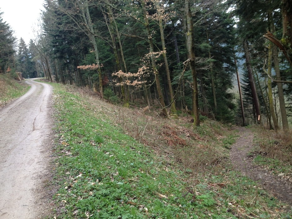
Zum Schluss die wohlverdiente Abfahrt nach Forbach. Hat ordentlich Spaß gemacht. Dort finden sich dann auch 1 oder 2 Trails, die man nehmen kann.
Tour gallery
Tour map and elevation profile
Minimum height 319 m
Maximum height 995 m
More about the tour author

|
B4DschK4Pp |
Comments

Wir haben in der Nähe des Bahnhofs in Forbach geparkt.
GPS tracks
Trackpoints-
GPX / Garmin Map Source (gpx) download
-
TCX / Garmin Training Center® (tcx) download
-
CRS / Garmin Training Center® (crs) download
-
Google Earth (kml) download
-
G7ToWin (g7t) download
-
TTQV (trk) download
-
Overlay (ovl) download
-
Fugawi (txt) download
-
Kompass (DAV) Track (tk) download
-
Track data sheet (pdf) download
-
Original file of the author (gpx) download
More about the tour author
|
|
B4DschK4Pp |
Add to my favorites
Remove from my favorites
Edit tags
Open track
My score
Rate