Login

Forgot your login?

Cookies have to be accepted!
Your browser's cookie functionality is disabled. Please enable this functionality.

Not a member yet?

Register now
Login

Available for registred users only

Log in to use this feature.

Forgot your login?

Cookies have to be accepted!
Your browser's cookie functionality is disabled. Please enable this functionality.

Not a member yet?

Register now
Filter
Categories
Advanced filters
  • Distance (km)
  • Height
Save filters Reset filter

TrackRank

QRCode

Technical data

Distance8,9 km Height587 m Way down581 m Duration02:00 h:m Date28.04.2013
Scores Author Landscape Fun factor Fitness Technique

Statistics

915 Views Scores 49 Downloads Average
Rate
  • Track data sheet
  • Directions
  • Downloads

Schöne kleine Wanderung.

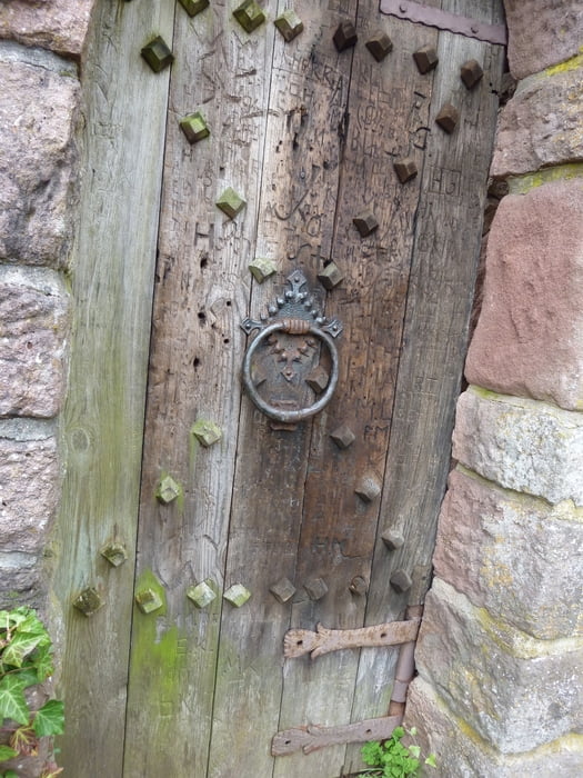
Wir besuchen 2 der Schramberger Ruinen - Falkenstein und die Hohen Schramberg.


Zudem durchwandern wir das nette Städtchen.


Viel Spass


Further information at

http://www.schramberg.de/de/Tourismus/Sehenswertes/Burgen

Tour gallery

Tour map and elevation profile

  • Open Street Map
  • Google
Minimum height 410 m Maximum height 653 m Detailed view

More about the tour author

Tom19
Member since 2008

Send private message

Comments

siehe Daten


GPS tracks

Trackpoints
  • GPX / Garmin Map Source (gpx) download
  • TCX / Garmin Training Center® (tcx) download
  • CRS / Garmin Training Center® (crs) download
  • Google Earth (kml) download
  • G7ToWin (g7t) download
  • TTQV (trk) download
  • Overlay (ovl) download
  • Fugawi (txt) download
  • Kompass (DAV) Track (tk) download
  • Track data sheet (pdf) download
  • Original file of the author (gpx) download

More about the tour author

Tom19
Member since 2008

Send private message
Share track
Add to my favorites
Remove from my favorites
Edit tags
My score
Rate
Track: Kleine Schramberger Burgenwanderung
Type: Hiking
Distance: 8,9 km
Evaluated on:
Duration:
Day(s)
Hour(s)
Minute(s)
Score: Landscape Fun factor Fitness Technique