


12.5.2007
Tour gallery
Tour map and elevation profile
Minimum height 115 m
Maximum height 442 m
More about the tour author
|
|
tmax |
Comments

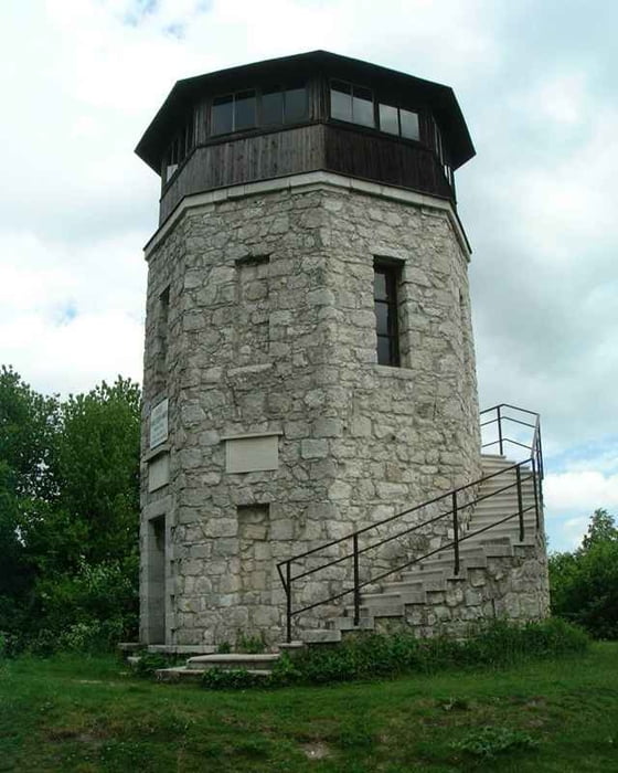
From Bratislava through Berg, Edelstal, Prellenkirchen, Schonabrunn, Hollern, Rohrau, Gerhaus, Pachfurth, Bruck an der Leitha, Bruckneudorf, Kaisersteinbruch to Breitenbrunn (98% tarmac). Then on the Neusiedler biketrail through Purbach to Donnerskirchen. Then on the road direction Hof am Leithagebirge, on the top of rising turn right on tourist trail to the scopetower. Then back on the road and on ti down to Hof. Then through Mannersdorf, Sommerein, Kaisersteinbruch, Bruckneudorf, Bruck an der Leitha, across fields (biketrail) to Gerhaus on road. Then through Rohrau, Hollern, Schonabrunn, Prellenkirchen, Edelstal, Berg and to Bratislava.
GPS tracks
Trackpoints-
GPX / Garmin Map Source (gpx) download
-
TCX / Garmin Training Center® (tcx) download
-
CRS / Garmin Training Center® (crs) download
-
Google Earth (kml) download
-
G7ToWin (g7t) download
-
TTQV (trk) download
-
Overlay (ovl) download
-
Fugawi (txt) download
-
Kompass (DAV) Track (tk) download
-
Track data sheet (pdf) download
-
Original file of the author (g7t) download
More about the tour author
|
|
tmax |
Add to my favorites
Remove from my favorites
Edit tags
Open track
My score
Rate