


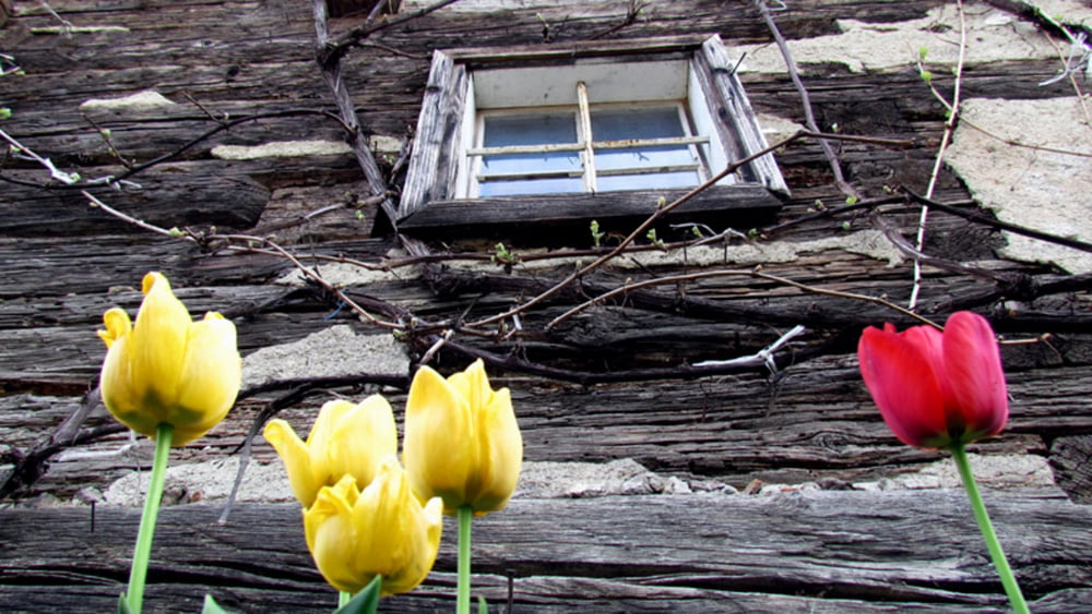
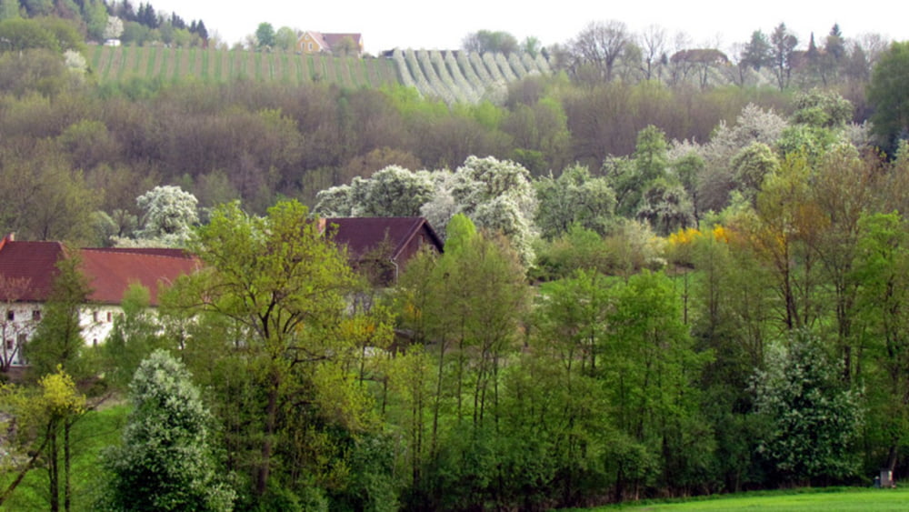
Diese Wanderung verzaubert! Zur Zeit der Kirschblüte (Meist Mitte April) verwandelt sich der Naturpark "Obst und Hügelland" in ein Blütenmeer.
Auf der homepage vom Obst und Hügelland (www.obsthuegelland) finden Sie zahlreiche Wandervorschläge. Der klassische Kirschblütenwanderweg ist in etwa 11 km lang. Wir waren schon später am Abend unterwegs weshalb wir eine kürzere aber trotzdem sehr sehr schöne Variante wählten.
Auf der Strecke befinden sich auch Einkehrmöglichkeiten wie z.B. der Firlingerhof.
Übrigens: Kennen Sie die Schartner Bombe? Auf einer Schautafel im Ortsteil Leppersdorf können Sie darüber einiges erfahren.
Aufgezeichnet wurde die Tour mit der Garmin Outdooruhr fenix
Further information at
http://www.obsthuegelland.atTour gallery


Tour map and elevation profile
Minimum height 280 m
Maximum height 399 m
More about the tour author
|
|
GarminSalzburg |
Comments

Mit dem Auto von Wels oder Eferding kommend über die B 134 nach Scharten. Dort finden überall Parkmöglichkeiten.
Am besten sehen Sie aber dazu die Seite vom Naturpark "Obst - und Hügelland"
GPS tracks
Trackpoints-
GPX / Garmin Map Source (gpx) download
-
TCX / Garmin Training Center® (tcx) download
-
CRS / Garmin Training Center® (crs) download
-
Google Earth (kml) download
-
G7ToWin (g7t) download
-
TTQV (trk) download
-
Overlay (ovl) download
-
Fugawi (txt) download
-
Kompass (DAV) Track (tk) download
-
Track data sheet (pdf) download
-
Original file of the author (gpx) download
More about the tour author
|
|
GarminSalzburg |
Add to my favorites
Remove from my favorites
Edit tags
Open track
My score
Rate