


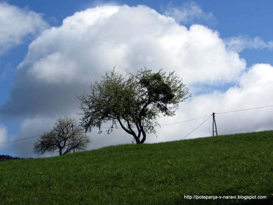
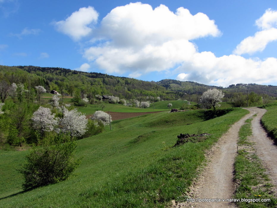
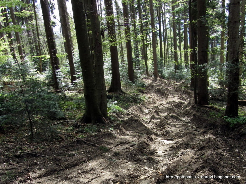
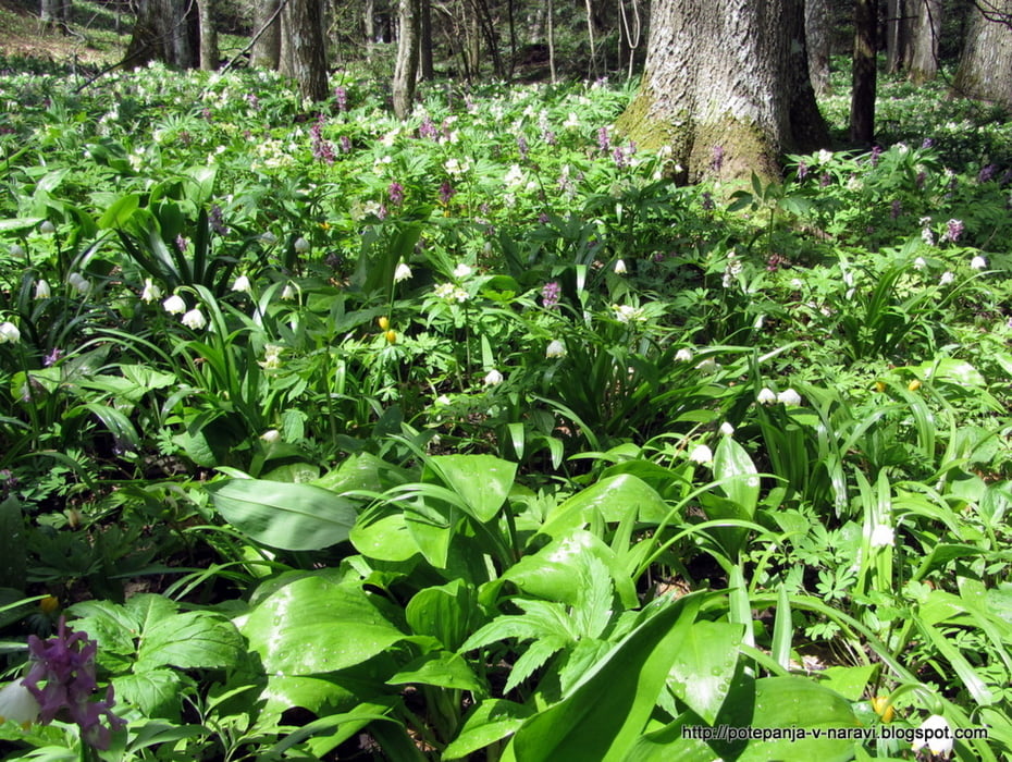
Krožni vzpon na najvišji vrh Bohorja, Veliki Javornik, z izhodiščem v Jablancah.
Further information at
http://potepanja-v-naravi.blogspot.com/2013/04/bohor.htmlTour gallery
Tour map and elevation profile
Minimum height 454 m
Maximum height 1019 m
More about the tour author
|
|
ExAmigan |
Comments

Dolenjsko avtocesto zapustimo na izvozu za Krško, od koder ob Savi nadaljujemo do Brestanice, kjer zavijemo desno proti Senovemu.Po prečkanju Dovškega potoka zavijemo levo in nadaljujemo v smeri Jablnc vse do urejenega parkirišča ob informativni tabli.
GPS tracks
Trackpoints-
GPX / Garmin Map Source (gpx) download
-
TCX / Garmin Training Center® (tcx) download
-
CRS / Garmin Training Center® (crs) download
-
Google Earth (kml) download
-
G7ToWin (g7t) download
-
TTQV (trk) download
-
Overlay (ovl) download
-
Fugawi (txt) download
-
Kompass (DAV) Track (tk) download
-
Track data sheet (pdf) download
-
Original file of the author (gpx) download
More about the tour author
|
|
ExAmigan |
Add to my favorites
Remove from my favorites
Edit tags
Open track
My score
Rate