Login

Forgot your login?

Cookies have to be accepted!
Your browser's cookie functionality is disabled. Please enable this functionality.

Not a member yet?

Register now
Login

Available for registred users only

Log in to use this feature.

Forgot your login?

Cookies have to be accepted!
Your browser's cookie functionality is disabled. Please enable this functionality.

Not a member yet?

Register now
Filter
Categories
Advanced filters
  • Distance (km)
  • Height
Save filters Reset filter

TrackRank

QRCode

Technical data

Distance39,4 km Height597 m Way down595 m Duration02:30 h:m Date04.05.2013
Scores Author Landscape Fun factor Fitness Technique

Statistics

437 Views Scores 60 Downloads Average
Rate
  • Track data sheet
  • Directions
  • Downloads
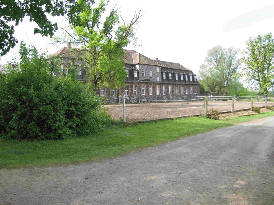
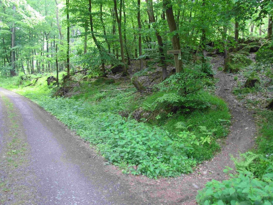
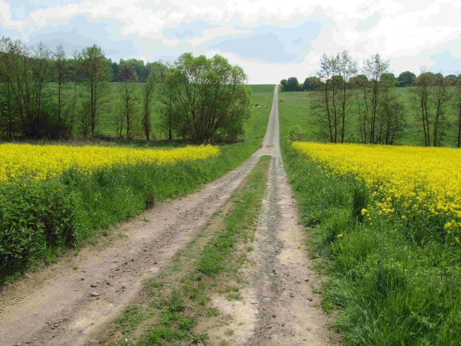
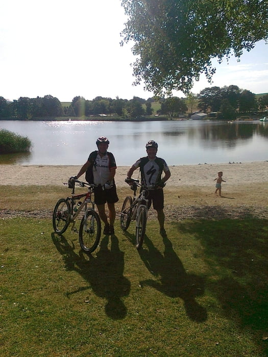
Abwechslungsreiche Feld-, Wald- und Wiesenwegtour mit Passagen des Bonifatiusweges und zwei schönen Flachtrails an den Bärensteinen, sowie einer Bademöglichkeit am Gederner See. 

Tour gallery

Tour map and elevation profile

  • Open Street Map
  • Google
Minimum height 130 m Maximum height 371 m Detailed view

More about the tour author

ablees
Member since 2008

Send private message

Comments

Parkmöglichkeit

  • Nidda, Marktplatz
  • Nidda, Sportplatz
  • Gederner See


GPS tracks

Trackpoints
  • GPX / Garmin Map Source (gpx) download
  • TCX / Garmin Training Center® (tcx) download
  • CRS / Garmin Training Center® (crs) download
  • Google Earth (kml) download
  • G7ToWin (g7t) download
  • TTQV (trk) download
  • Overlay (ovl) download
  • Fugawi (txt) download
  • Kompass (DAV) Track (tk) download
  • Track data sheet (pdf) download
  • Original file of the author (gpx) download

More about the tour author

ablees
Member since 2008

Send private message
Share track
Add to my favorites
Remove from my favorites
Edit tags
My score
Rate
Track: Bonifatius-Trails
Type: Mountain bike
Distance: 39,4 km
Evaluated on:
Duration:
Day(s)
Hour(s)
Minute(s)
Score: Landscape Fun factor Fitness Technique