
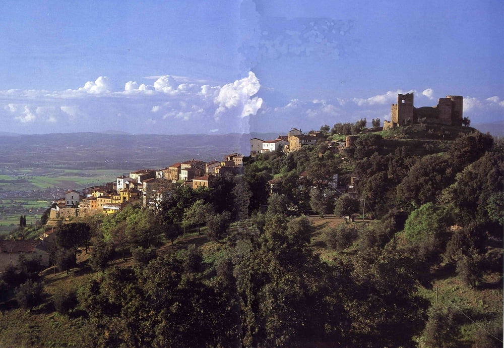

vom Campingplatz Vallicela die Strasse hoch nach Scarlino. Hier den Wanderweg 402 (Schild Super Enduro) steil hoch weiterfahren. Immer den Schildern Super-Enduro folgen. Weg fürht dann links in einen Super-Singletrail der direkt ins Tal führt. Meisten S1 oder S2 zu fahren. Einige S3 Stellen sind dabei. Manchmal ist der Trail nur noch eine Fahrrinne und wenn die dann steil abwärts geht, schiebe ich lieber. Im Tal gehts dann an einem Bächchen gleich wieder bergauf um dann rechts in einen weiteren Singletrail Downhill abzubiegen. Trail kommt auch im Tal raus. Au einem Schottersträßchen gehts dann zurück nach Scarlino und zum Campingplatz.
Tour map and elevation profile
Minimum height 65 m
Maximum height 460 m
More about the tour author
|
|
Fruehaufsteher |
Comments

GPS tracks
Trackpoints-
GPX / Garmin Map Source (gpx) download
-
TCX / Garmin Training Center® (tcx) download
-
CRS / Garmin Training Center® (crs) download
-
Google Earth (kml) download
-
G7ToWin (g7t) download
-
TTQV (trk) download
-
Overlay (ovl) download
-
Fugawi (txt) download
-
Kompass (DAV) Track (tk) download
-
Track data sheet (pdf) download
-
Original file of the author (gpx) download
More about the tour author
|
|
Fruehaufsteher |
Add to my favorites
Remove from my favorites
Edit tags
Open track
My score
Rate