


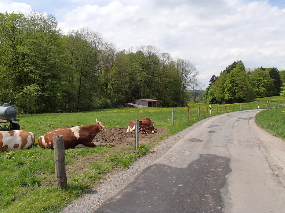
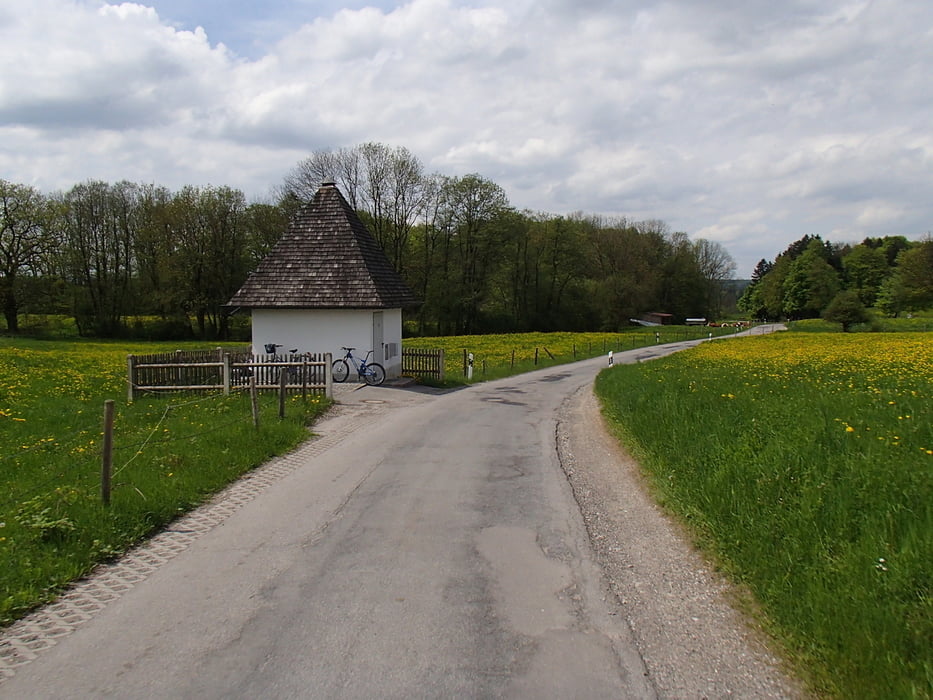
DIese kleine Runde durch den Forstenrieder Park ist ideal für beginner, Familien oder auch zum Chill Out nach der Arbeit. Wenig Höhenmeter, viel Grün und gute Luft im Wald und 2 tolle Biergärten am Weg runden die Strecke ab.
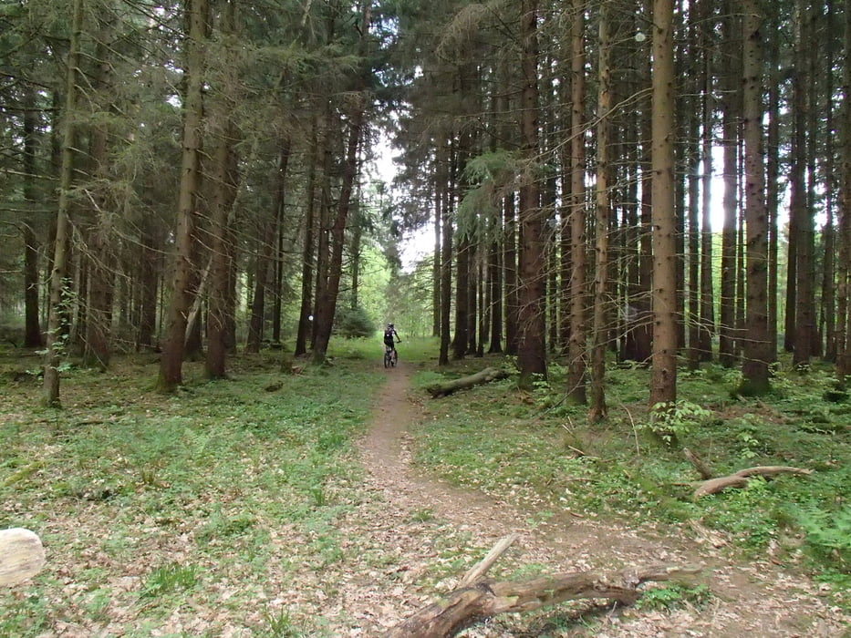
Beginn wie immer am Bikeshop in Sendling. dann auf Radlwegen aus münchen raus und dann zu großen Teilen auf breiten Waldwegen. Teilweise auch schmale Wurzelwege aber nicht viel.
Further information at
http://www.mountaintrails.deTour gallery
Tour map and elevation profile
Minimum height 550 m
Maximum height 662 m
More about the tour author
|
|
Roadrunner75 |
Comments

Sendling > Albert-Roßhaupter-Straß3
GPS tracks
Trackpoints-
GPX / Garmin Map Source (gpx) download
-
TCX / Garmin Training Center® (tcx) download
-
CRS / Garmin Training Center® (crs) download
-
Google Earth (kml) download
-
G7ToWin (g7t) download
-
TTQV (trk) download
-
Overlay (ovl) download
-
Fugawi (txt) download
-
Kompass (DAV) Track (tk) download
-
Track data sheet (pdf) download
-
Original file of the author (gpx) download
More about the tour author
|
|
Roadrunner75 |
Add to my favorites
Remove from my favorites
Edit tags
Open track
My score
Rate