


Wegverlauf: Schwelm=Winterberg - Hölzerne Klinke - Spreel - Schlagbaum - Heilenbecketalsperre - Rüggeberg - Tal der Ennepe - Altenvoerde
Im Tal der Ennepe kann zusätzlich der Aussichtspunkt Hohenstein bestiegen werden, siehe Wanderung "Ruhrgebiet: Ennepetal (2)"
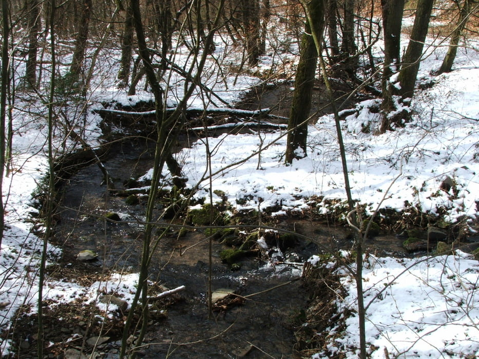
Tour gallery


Tour map and elevation profile
Minimum height 208 m
Maximum height 365 m
More about the tour author
|
|
lothardomnik |
Comments

Zuglinien RE 4, RE 7, RE 13 und S 8 von Wuppertal oder Hagen nach Schwelm. Von Schwelm Bahnhof mit Buslinie 568 bis Winterberg.
Endpunkt ist die Haltestelle Ennepetal Rathaus der Buslinie 511; weitere Haltestellen in der Nähe. Mit 511 nach Hagen oder mit 511 oder anderen Linien über Ennepetal Busbahnhof zum Bahnhof Ennepetal, von da aus mit RE 4, RE 7 oder RE 13 nach Wuppertal oder Hagen.
GPS tracks
Trackpoints-
GPX / Garmin Map Source (gpx) download
-
TCX / Garmin Training Center® (tcx) download
-
CRS / Garmin Training Center® (crs) download
-
Google Earth (kml) download
-
G7ToWin (g7t) download
-
TTQV (trk) download
-
Overlay (ovl) download
-
Fugawi (txt) download
-
Kompass (DAV) Track (tk) download
-
Track data sheet (pdf) download
-
Original file of the author (gpx) download
More about the tour author
|
|
lothardomnik |
Add to my favorites
Remove from my favorites
Edit tags
Open track
My score
Rate