


Start von Parkplatz Donauarena,
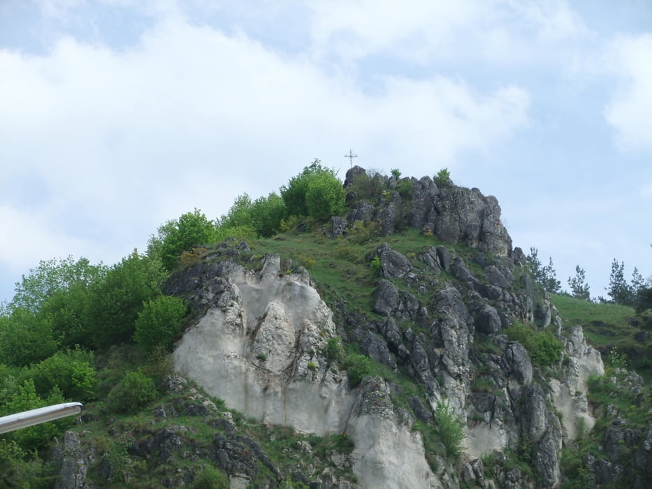
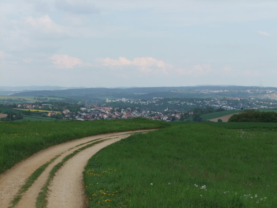
an der Donau entlang über die Regenbrücke, Alte Nürnbergerstr., von hier direkt hoch 17% zum Dreifaltigkeitsberg. Die Winzeren Höhen entlang nach Karger, über Kneiting nach Eibrunn, weiter durch den Wald nach Pielenhofen (Einkehr Klostergarten), weiter die Sonnenstr. hoch über der Naab bis Duggendorf. Von hier wieder durch den Wald über Babetsberg und Frauenberg nach Laaber (Einkehr Gasthaus Plank). Den Kreuzweg am Kalvarienberg hoch nach Münchsmühle weiter nach Deuerling, Undorf, Nittendorf, von hier Richtung Penk und nach Etterzhausen (Einkehr Alte Brücke), über Kneiting wieder zurück zur Donauarena
Further information at
http://www.klosterwirtschaft.deTour gallery

Tour map and elevation profile
Minimum height 332 m
Maximum height 523 m
More about the tour author

|
bergkine |
Comments

GPS tracks
Trackpoints-
GPX / Garmin Map Source (gpx) download
-
TCX / Garmin Training Center® (tcx) download
-
CRS / Garmin Training Center® (crs) download
-
Google Earth (kml) download
-
G7ToWin (g7t) download
-
TTQV (trk) download
-
Overlay (ovl) download
-
Fugawi (txt) download
-
Kompass (DAV) Track (tk) download
-
Track data sheet (pdf) download
-
Original file of the author (gpx) download
More about the tour author
|
|
bergkine |
Add to my favorites
Remove from my favorites
Edit tags
Open track
My score
Rate