


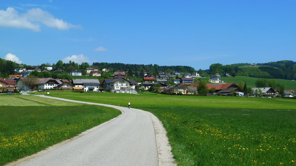
Der Einstieg in diese Rundtour ist von überall entlang der Strecke möglich !
Start in Lengau (Bezirk Braunau am Inn). Roidwalchen-Steindorf-Pfongau-Wertheim-Berg- Altentann-Henndorf-Fischtaging-Weinbergsiedlung-Seekirchen-Seewalchen-Bayerham-Zell-Weng-Spanswag-Buchwinkl-Enharting-Roidwalchen-Haidach-Schwöll-Oberehreneck-Holz-Lengau.
Further information at
http://connect.garmin.com/activity/310139125Tour gallery


Tour map and elevation profile
Minimum height 511 m
Maximum height 650 m
More about the tour author
|
|
19adi48 |
Comments
Der Einstieg in diese Rundtour ist von überall entlang der Strecke möglich !
GPS tracks
Trackpoints-
GPX / Garmin Map Source (gpx) download
-
TCX / Garmin Training Center® (tcx) download
-
CRS / Garmin Training Center® (crs) download
-
Google Earth (kml) download
-
G7ToWin (g7t) download
-
TTQV (trk) download
-
Overlay (ovl) download
-
Fugawi (txt) download
-
Kompass (DAV) Track (tk) download
-
Track data sheet (pdf) download
-
Original file of the author (gpx) download
More about the tour author
|
|
19adi48 |
Add to my favorites
Remove from my favorites
Edit tags
Open track
My score
Rate
Mountainbike
Lg
Josef