


Harte Tour mit 1/2 stündiger Schiebe und Tragestrecke auf den Bocca Saval
S1-S2
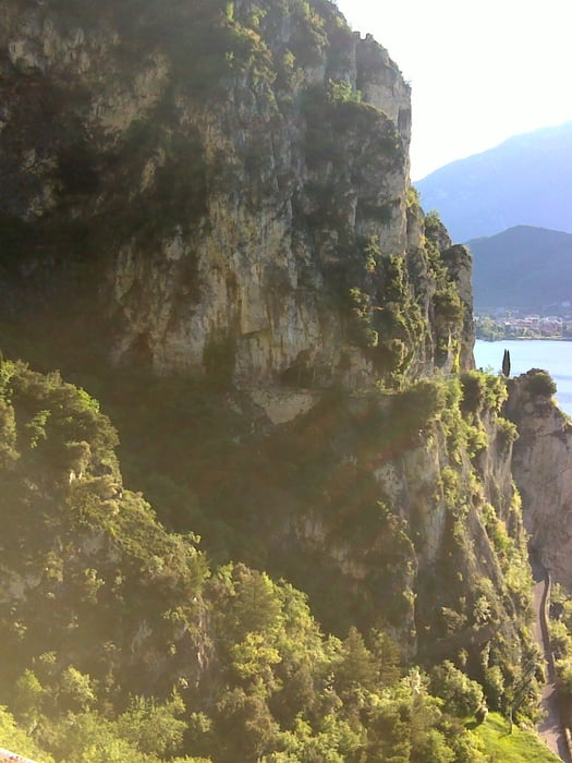
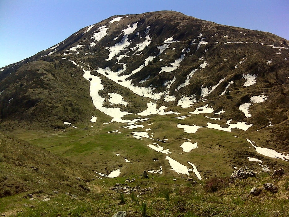
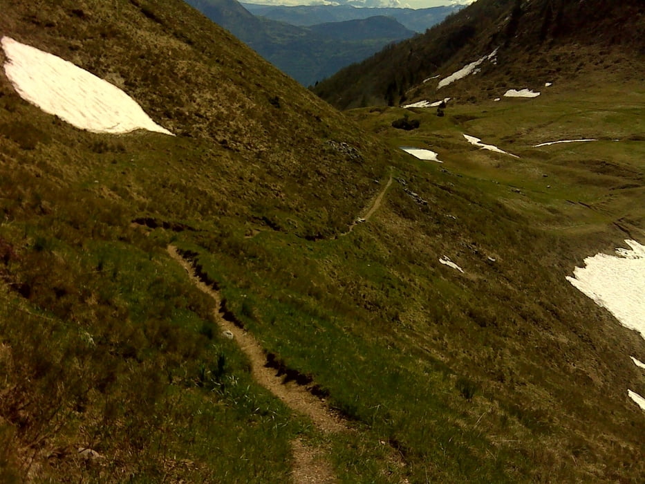
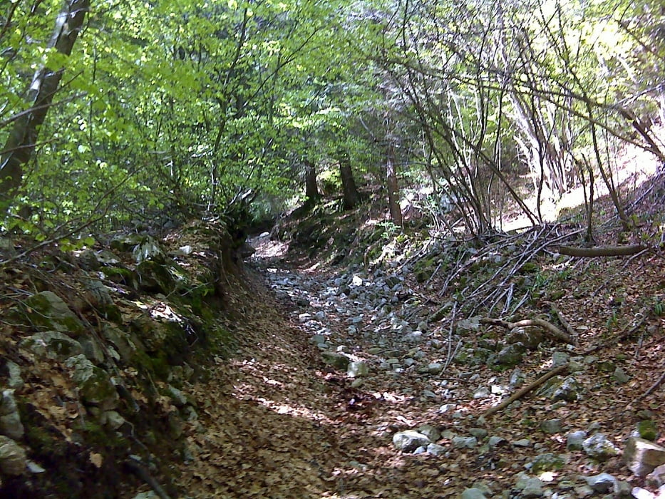
Start über die wunderschöne Ponale zum Ledrosee,den See auf der linken Seite umrunden,weiter ins Val di Concai.Rauf zum Bocca di Trat.Beim Rifugio Pernici rechts weiter rauf auf einen Höhentrail der immer wieder zum Absteigen zwingt.Am höchsten Punkt 1790hmt angekommen beginnt der Downhill.zuerst auf einen schmalen Pfad bis in die Nähe Cima d'oro.Von dort geht es auf steilem groben Weg,der aber zunehmend angenehmer wird,fast schon flowig.In der Nähe vom Berggasthof Capanna Grassi geht es rechts über die Wiese genau zum Einstieg zum Pinzatrail bis hinab nach Riva.
Tour gallery
Tour map and elevation profile
Minimum height 51 m
Maximum height 1809 m
More about the tour author
|
|
josef_zinganel |
Comments

GPS tracks
Trackpoints-
GPX / Garmin Map Source (gpx) download
-
TCX / Garmin Training Center® (tcx) download
-
CRS / Garmin Training Center® (crs) download
-
Google Earth (kml) download
-
G7ToWin (g7t) download
-
TTQV (trk) download
-
Overlay (ovl) download
-
Fugawi (txt) download
-
Kompass (DAV) Track (tk) download
-
Track data sheet (pdf) download
-
Original file of the author (gpx) download
More about the tour author
|
|
josef_zinganel |
Add to my favorites
Remove from my favorites
Edit tags
Open track
My score
Rate