

Die Tour beginnt an der Rupertus Therme in Bad Reichenhall.
Gegenüber der Bushaltestelle führt ein Radweg durch einen Tunnel
unter der Hauptsraße durch Richtung Nonn zum Listensee .
Gleich am Anfang nach 5 min. Fahrzeit ,kommt schon die erste
kurze Rampe mit 22% Steigung , danach wirds aber wieder flacher.
Am Listensee gehts dann auf einer breiten. Forststraße
auffiii Richtung Zwieselalm.
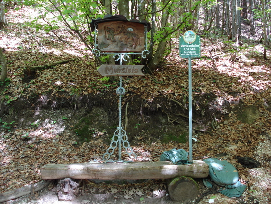
An den Abzweigungen Immer den kleinen MTB Schildern folgen.
Es geht stetig mit 10 - 20% Steigung Bergauf , die Wegbeschaffenheit ist sehr gut .
Jetzt immer auf der Fortsstraße bleiben bis man ,
bei ca: 1200m Höhe auf die Abzweigung zur Zwieselalm trift .
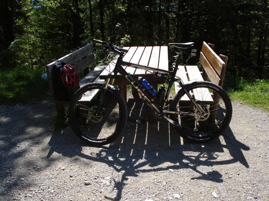
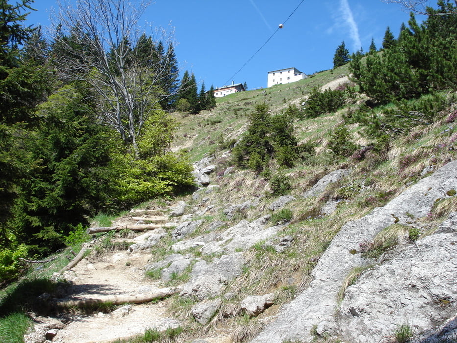
Hier steht eine große Rastbank mit Tisch
dort beginnt die Hike - Tour, (siehe Bild).
Dort die Bike`s parken und die Wanderschuhe anziehen.
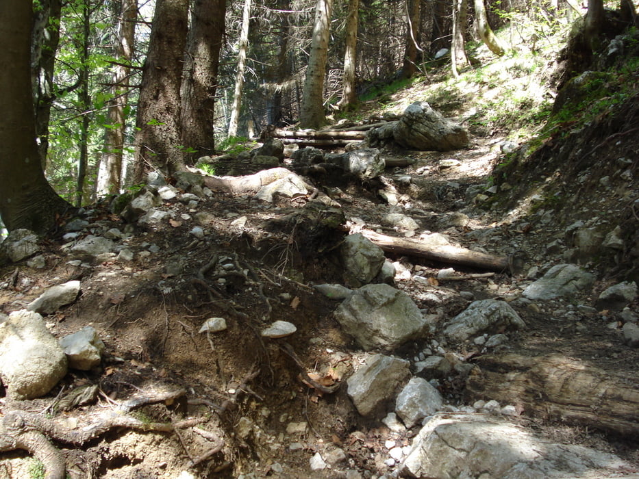
Der weitere Aufstieg zur Zwieselalm ist mit Radschuhen
nicht möglich ,wie auf den Bildern zu sehen ist.
Die Hike - Tour ist sehr steil und man kämpft sich
ca: 1 std. lang durch unwegsames Gelände hoch bis zur Alm.
Dort hat man eine grandiose Aussicht auf die südliche Bergwelt
Der Abstieg dauert fast genauso lang und erfordert volle Konzentration.
Dies ist mal eine Interessante abwechslungsreiche Alternative ,
zu einer reinen Bike Tour
Tour gallery
Tour map and elevation profile
Minimum height 538 m
Maximum height 1439 m
More about the tour author
|
|
Appelmann |
Comments

GPS tracks
Trackpoints-
GPX / Garmin Map Source (gpx) download
-
TCX / Garmin Training Center® (tcx) download
-
CRS / Garmin Training Center® (crs) download
-
Google Earth (kml) download
-
G7ToWin (g7t) download
-
TTQV (trk) download
-
Overlay (ovl) download
-
Fugawi (txt) download
-
Kompass (DAV) Track (tk) download
-
Track data sheet (pdf) download
-
Original file of the author (gpx) download
More about the tour author
|
|
Appelmann |
Add to my favorites
Remove from my favorites
Edit tags
Open track
My score
Rate