


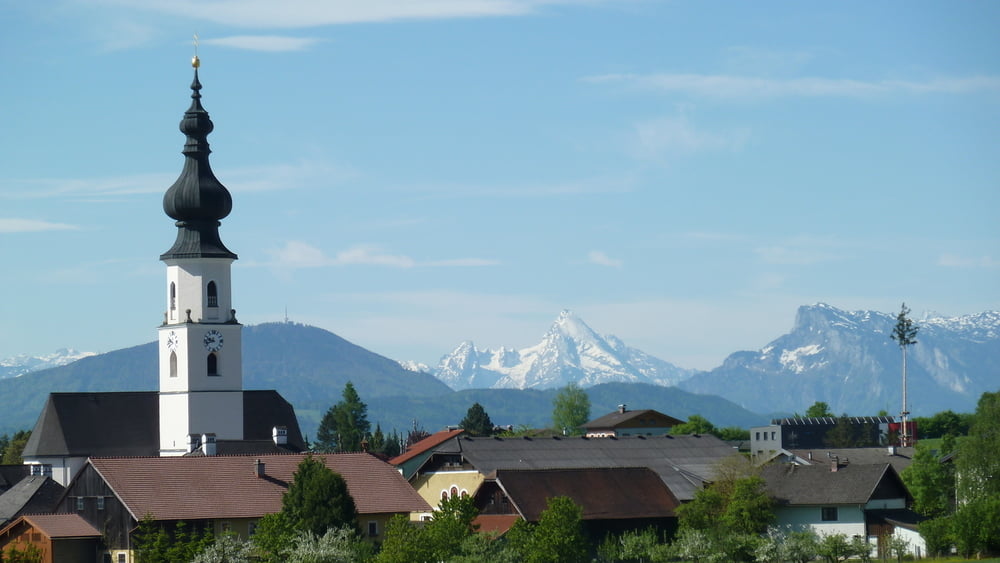
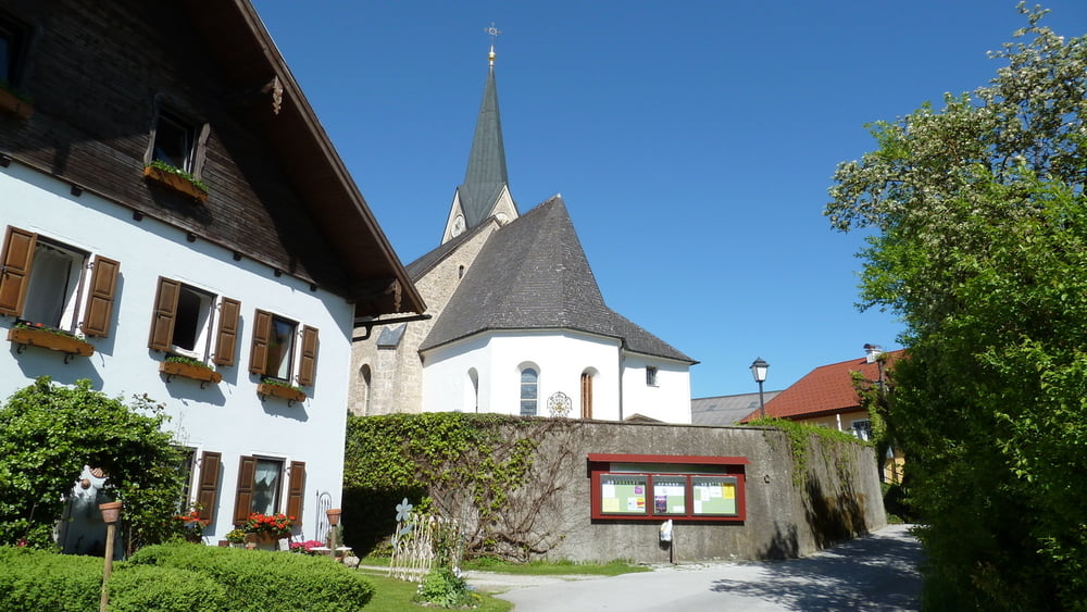
Lengau - entlang des Hainbaches nach Schwöll- weiter nach Haidach-Enharting-Köstendorf-Spanswag-Fischachmühle-hinauf nach Schleedorf- weiter aufwärts auf der Köstendorfer Landesstraße Richtung Mattsee-vor der Schöchl Werft rechts abzweigen in Richtung Schalkham. Nach ca. 150 m links abbiegen nach Obernberg. Hier rechts halten und leicht aufwärts später durch eine kurze Waldstrecke nach Saulach. Abbiegung scharf nach links und an einer Kapelle vorbei die Ramooser Straße abwärts nach Ramoos am Südufer des Mattsees nehmen. Weiter geht es über den Radweg durch die Weyer-Allee zum Marktplatz. Wir fahren die Passauer Straße hinaus und auf dem Radweg, der die Mattseer Landesstraße begleitet, über Überfuhr und Aug nach Haag (Landesgrenze). Kurz nach Haag biegen wir rechts nach Stein ab und über Rackersing und Astätt gelangen wir nach Lochen. Über Intenham geht es weiter nach Aug und zurück nach Lengau.
Further information at
http://connect.garmin.com/activity/313069424Tour gallery


Tour map and elevation profile
Minimum height 497 m
Maximum height 652 m
More about the tour author
|
|
19adi48 |
Comments

GPS tracks
Trackpoints-
GPX / Garmin Map Source (gpx) download
-
TCX / Garmin Training Center® (tcx) download
-
CRS / Garmin Training Center® (crs) download
-
Google Earth (kml) download
-
G7ToWin (g7t) download
-
TTQV (trk) download
-
Overlay (ovl) download
-
Fugawi (txt) download
-
Kompass (DAV) Track (tk) download
-
Track data sheet (pdf) download
-
Original file of the author (gpx) download
More about the tour author
|
|
19adi48 |
Add to my favorites
Remove from my favorites
Edit tags
Open track
My score
Rate