


Von Bayrischzell am Bahnhof entlang eines wunderbaren Radweges in Richtung Elendssattel.
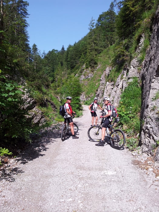
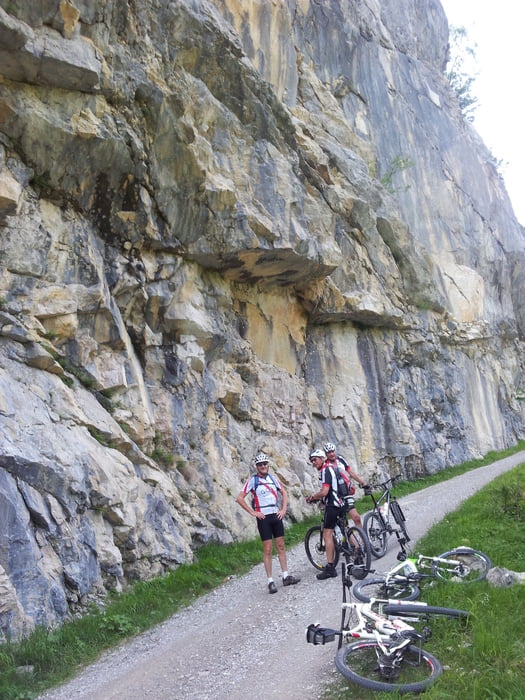
Der Anstieg auf den Elendssattel ist zum Teil und kurzzeitig recht steil. Landschaftlich wunderbar durch eine Schlucht hinauf und anschließend mit rasanter Abfahrt auf steinigen Forstwegen Richtung Östereich/Kramsach. Entlang dem Inn Radweg bis es dann links abgeht ins Zillertal.
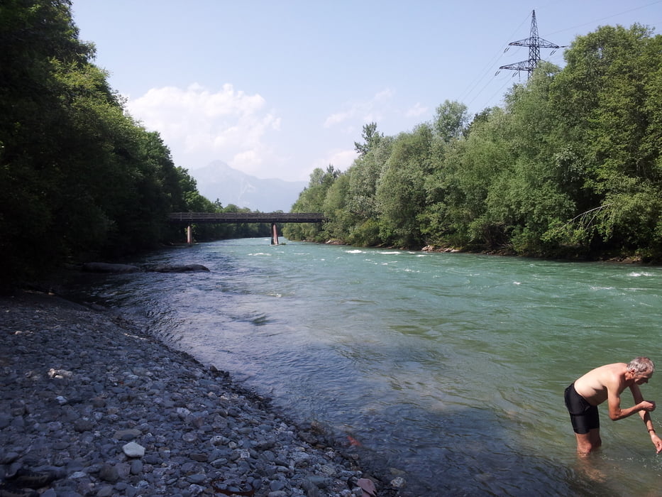
An der Ziller entlang bis nach Laimach. Wunderbare Aus- und Einblicke ins mächtige Zillertal mit seinen einrahmenden Giganten mit weit über 3000M Höhe.
Tour entspricht erster Etappe einer wunderbaren Alpenüberquerung mit Anstiege bis auf 2500 Hm.
Tour gallery
Tour map and elevation profile
Minimum height 576 m
Maximum height 1166 m
More about the tour author
|
|
Arkumpf |
Comments

München - A8 Richtung Salzburg bis zur Ausfahrt "Bayrischzell". Dann den Verkehrsschildern folgen bis BZ.
GPS tracks
Trackpoints-
GPX / Garmin Map Source (gpx) download
-
TCX / Garmin Training Center® (tcx) download
-
CRS / Garmin Training Center® (crs) download
-
Google Earth (kml) download
-
G7ToWin (g7t) download
-
TTQV (trk) download
-
Overlay (ovl) download
-
Fugawi (txt) download
-
Kompass (DAV) Track (tk) download
-
Track data sheet (pdf) download
-
Original file of the author (gpx) download
More about the tour author
|
|
Arkumpf |
Add to my favorites
Remove from my favorites
Edit tags
Open track
My score
Rate