


Greifenstein einmal anders!
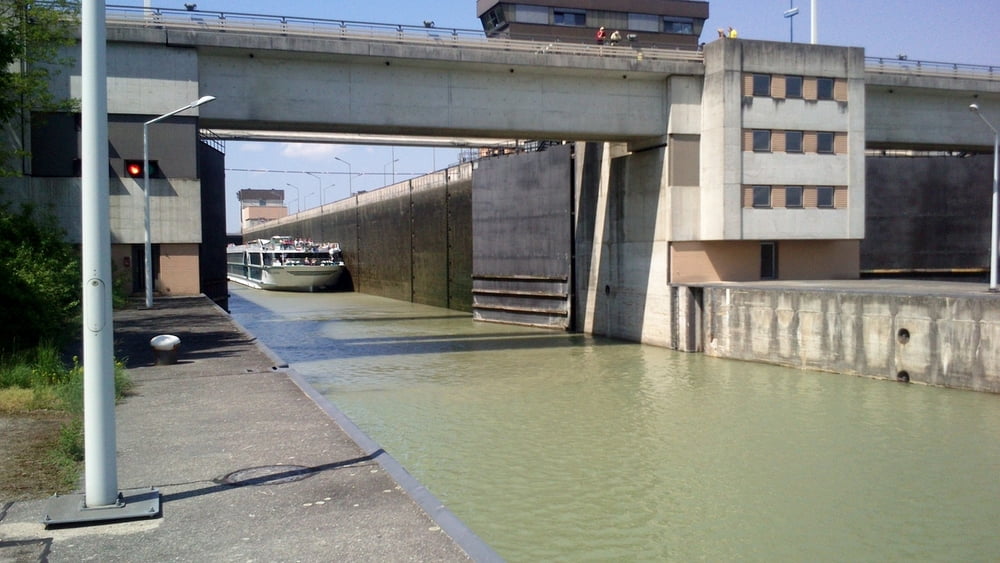
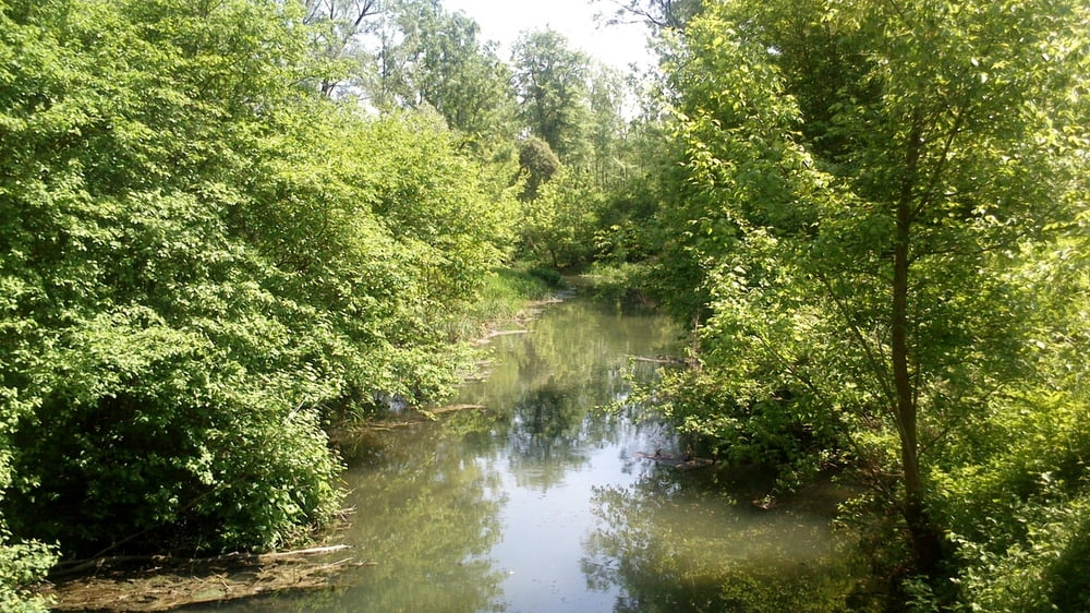
Wir haben unsere Runde in Wördern in der Auhofstraße begonnen, da dieser Einstieg nicht leicht zu finden ist kann man auch den Parkplatz beim Jachthafen als Start benutzen. Die Route führt über Forstwege entlang von Altarmen zur Donau. An der Donau angekommen am Fuße des Dammes (oben verläuft der stark befahrene Radweg) Richtung Jachthafen. Nach dem Parkplatz des Jachthafen geht es am Radweg bis zum Kraftwerk und zum Ende der Halbinsel. Retour neben dem Donaualtarm zurück zum Parkplatz , Ein Stück auf den bereits beim Hinweg benutzten Weg, nach ca. 800m bei einen Holzlagerplatz links abbiegen. Dieser Forstweg geht in die Auhofstraße über.
Tourdatum 9.5.2013
Tour gallery


Tour map and elevation profile
Minimum height 167 m
Maximum height 179 m
More about the tour author

|
Herbiy |
Comments

GPS tracks
Trackpoints-
GPX / Garmin Map Source (gpx) download
-
TCX / Garmin Training Center® (tcx) download
-
CRS / Garmin Training Center® (crs) download
-
Google Earth (kml) download
-
G7ToWin (g7t) download
-
TTQV (trk) download
-
Overlay (ovl) download
-
Fugawi (txt) download
-
Kompass (DAV) Track (tk) download
-
Track data sheet (pdf) download
-
Original file of the author (gpx) download
More about the tour author
|
|
Herbiy |
Add to my favorites
Remove from my favorites
Edit tags
Open track
My score
Rate