Login

Forgot your login?

Cookies have to be accepted!
Your browser's cookie functionality is disabled. Please enable this functionality.

Not a member yet?

Register now
Login

Available for registred users only

Log in to use this feature.

Forgot your login?

Cookies have to be accepted!
Your browser's cookie functionality is disabled. Please enable this functionality.

Not a member yet?

Register now
Filter
Categories
Advanced filters
  • Distance (km)
  • Height
Save filters Reset filter

TrackRank

QRCode

Technical data

Distance4,1 km Height50 m Way down31 m Duration04:00 h:m Date21.05.2013
Scores Author Landscape Fun factor Fitness Technique

Statistics

553 Views Scores 11 Downloads Average
Rate
  • Track data sheet
  • Directions
  • Downloads

Die Tour war nicht sehr lang mit insgesamt 8 km.

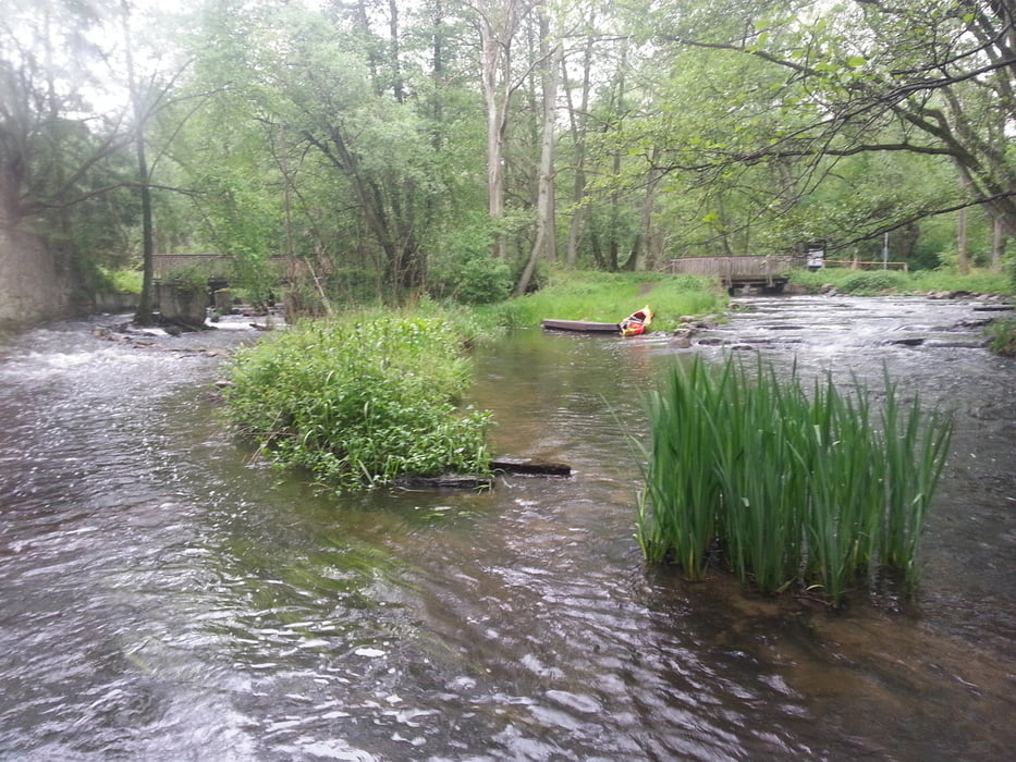
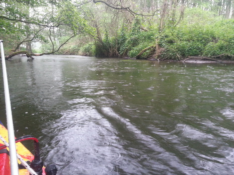
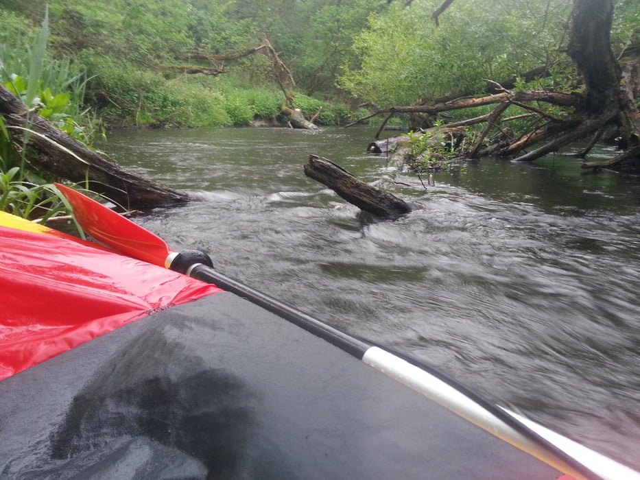
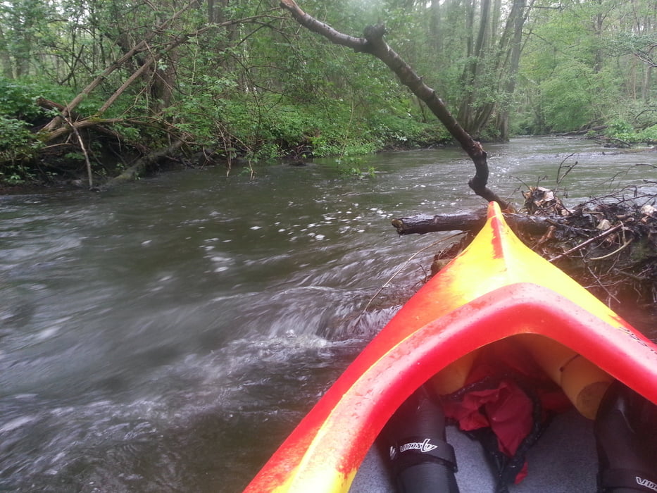
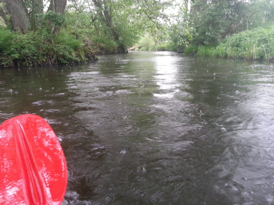
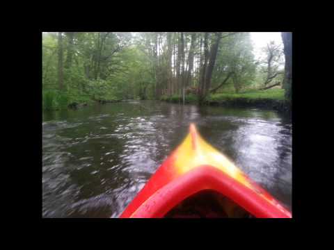
Die Landschaft durch die der Fluss führt ist aber Traumhaft.


Tour gallery

Tour map and elevation profile

  • Open Street Map
  • Google
Minimum height 50 m Maximum height 85 m Detailed view

More about the tour author

thomaskuhrt
Member since 2013

Send private message

Comments

Schoenfelder on 02.01.2016

Sperrung der Warnow

Die Befahrung genau dieses Flußabschnittes ist seit 2014 unter Androhung von bis zu € 5000,00 Strafe verboten.

GPS tracks

Trackpoints
  • GPX / Garmin Map Source (gpx) download
  • TCX / Garmin Training Center® (tcx) download
  • CRS / Garmin Training Center® (crs) download
  • Google Earth (kml) download
  • G7ToWin (g7t) download
  • TTQV (trk) download
  • Overlay (ovl) download
  • Fugawi (txt) download
  • Kompass (DAV) Track (tk) download
  • Track data sheet (pdf) download
  • Original file of the author (gpx) download

More about the tour author

thomaskuhrt
Member since 2013

Send private message
Share track
Add to my favorites
Remove from my favorites
Edit tags
My score
Rate
Track: Warnow Tour bei Karnin
Type: Boat and canoe
Distance: 4,1 km
Evaluated on:
Duration:
Day(s)
Hour(s)
Minute(s)
Score: Landscape Fun factor Fitness Technique